Pilgersdorf | |
|---|---|
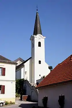 Saint Giles Church | |
 Coat of arms | |
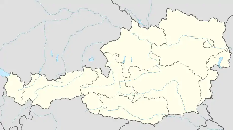 Pilgersdorf Location within Austria | |
| Coordinates: 47°26′N 16°21′E / 47.433°N 16.350°E | |
| Country | Austria |
| State | Burgenland |
| District | Oberpullendorf |
| Government | |
| • Mayor | Ewald Bürger (ÖVP) |
| Area | |
| • Total | 43.9 km2 (16.9 sq mi) |
| Elevation | 375 m (1,230 ft) |
| Population (2018-01-01)[2] | |
| • Total | 1,656 |
| • Density | 38/km2 (98/sq mi) |
| Time zone | UTC+1 (CET) |
| • Summer (DST) | UTC+2 (CEST) |
| Postal code | 7441 |
| Website | www.pilgersdorf.at |
Pilgersdorf (Croatian: Pilištrof, Hungarian: Pörgölény) is a town in the district of Oberpullendorf in the Austrian state of Burgenland.
Geography
The town is located in Middle Burgenland in the Zöbern valley, between Kirchschlag in der Buckligen Welt and Lockenhaus. It is the amalgamation of the communities of Bubendorf, Deutsch Gerisdorf, Kogl, Lebenbrunn, Pilgersdorf, Salmannsdorf and Steinbach.
Population
| Year | Pop. | ±% |
|---|---|---|
| 1869 | 2,333 | — |
| 1880 | 2,281 | −2.2% |
| 1890 | 2,131 | −6.6% |
| 1900 | 2,139 | +0.4% |
| 1910 | 2,123 | −0.7% |
| 1923 | 2,090 | −1.6% |
| 1934 | 2,099 | +0.4% |
| 1939 | 1,994 | −5.0% |
| 1951 | 1,873 | −6.1% |
| 1961 | 1,834 | −2.1% |
| 1971 | 1,837 | +0.2% |
| 1981 | 1,781 | −3.0% |
| 1991 | 1,713 | −3.8% |
| 2001 | 1,702 | −0.6% |
| 2011 | 1,642 | −3.5% |
References
- ↑ "Dauersiedlungsraum der Gemeinden Politischen Bezirke und Bundesländer - Gebietsstand 1.1.2018". Statistics Austria. Retrieved 10 March 2019.
- ↑ "Einwohnerzahl 1.1.2018 nach Gemeinden mit Status, Gebietsstand 1.1.2018". Statistics Austria. Retrieved 9 March 2019.
External links
![]() Media related to Pilgersdorf at Wikimedia Commons
Media related to Pilgersdorf at Wikimedia Commons
This article is issued from Wikipedia. The text is licensed under Creative Commons - Attribution - Sharealike. Additional terms may apply for the media files.