Placitas, New Mexico | |
|---|---|
Census-designated place | |
 Placitas | |
| Coordinates: 32°39′54″N 107°10′07″W / 32.66500°N 107.16861°W | |
| Country | United States |
| State | New Mexico |
| County | Doña Ana |
| Area | |
| • Total | 0.143 sq mi (0.37 km2) |
| • Land | 0.143 sq mi (0.37 km2) |
| • Water | 0 sq mi (0 km2) |
| Elevation | 4,068 ft (1,240 m) |
| Population | |
| • Total | 576 |
| • Density | 4,000/sq mi (1,600/km2) |
| Time zone | UTC-7 (Mountain (MST)) |
| • Summer (DST) | UTC-6 (MDT) |
| Area code | 575 |
| GNIS feature ID | 920664[2] |
Placitas is a census-designated place in Doña Ana County, New Mexico, United States. Its population was 576 as of the 2010 census.[1] The community is along the western border of Hatch.
Geography
Placitas is at 32°39′56″N 107°10′11″W / 32.665643°N 107.169667°W. According to the U.S. Census Bureau, the community has an area of 0.143 square miles (0.37 km2), all land.[1]
Education
It is zoned to Hatch Valley Public Schools.[3]
References
- 1 2 3 4 "2010 Census Gazetteer Files - Places: New Mexico". U.S. Census Bureau. Archived from the original on July 14, 2014. Retrieved August 21, 2014.
- ↑ "Placitas". Geographic Names Information System. United States Geological Survey, United States Department of the Interior.
- ↑ "2020 CENSUS - SCHOOL DISTRICT REFERENCE MAP: Doña Ana County, NM" (PDF). U.S. Census Bureau. Retrieved June 28, 2022.
Municipalities and communities of Doña Ana County, New Mexico, United States | ||
|---|---|---|
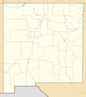
| Cities |  Map of New Mexico highlighting Doña Ana County | |
| Town | ||
| Village | ||
| CDPs | ||
| Unincorporated community | ||
| Ghost towns | ||
This article is issued from Wikipedia. The text is licensed under Creative Commons - Attribution - Sharealike. Additional terms may apply for the media files.