Plaue | |
|---|---|
 | |
 Coat of arms | |
Location of Plaue within Ilm-Kreis district  | |
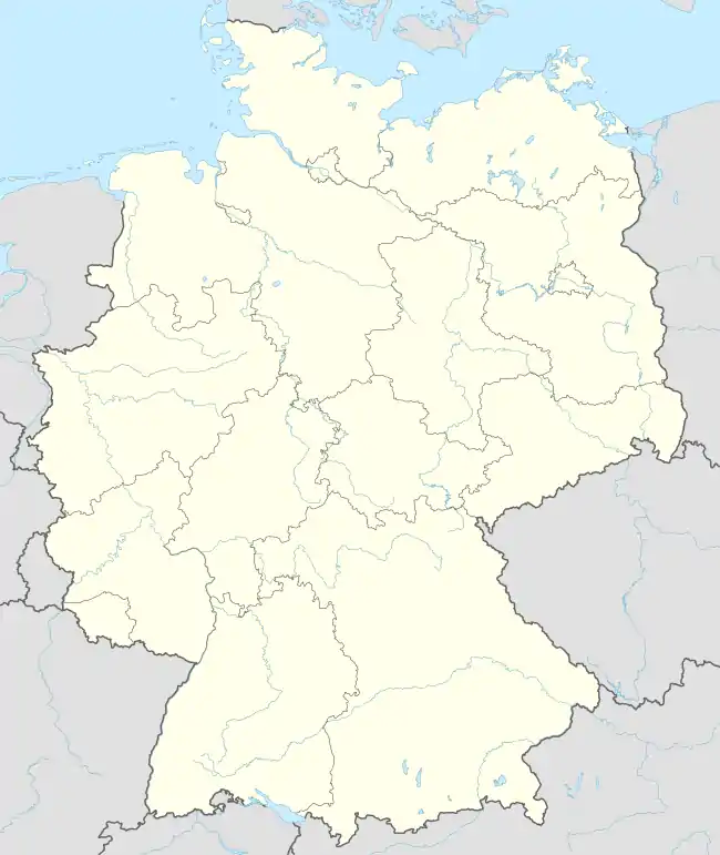 Plaue 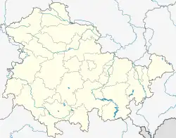 Plaue | |
| Coordinates: 50°46′46″N 10°53′56″E / 50.77944°N 10.89889°E | |
| Country | Germany |
| State | Thuringia |
| District | Ilm-Kreis |
| Municipal assoc. | Geratal/Plaue |
| Subdivisions | 3 |
| Government | |
| • Mayor (2021–27) | Christian Janik[1] |
| Area | |
| • Total | 22.69 km2 (8.76 sq mi) |
| Elevation | 330 m (1,080 ft) |
| Population (2022-12-31)[2] | |
| • Total | 1,978 |
| • Density | 87/km2 (230/sq mi) |
| Time zone | UTC+01:00 (CET) |
| • Summer (DST) | UTC+02:00 (CEST) |
| Postal codes | 99338 |
| Dialling codes | 036207 |
| Vehicle registration | IK |
| Website | www.plaue-thueringen.de |
Plaue is a town in the Ilm-Kreis district, in Thuringia, Germany. It is situated on the river Gera, 11 km north of Ilmenau, and 8 km southwest of Arnstadt. The former municipality Neusiß was merged into Plaue in January 2019. Plaue station lies on the Neudietendorf–Ritschenhausen railway.
References
- ↑ Gewählte Bürgermeister - aktuelle Landesübersicht, Freistaat Thüringen, accessed 10 November 2022.
- ↑ "Bevölkerung der Gemeinden, erfüllenden Gemeinden und Verwaltungsgemeinschaften in Thüringen Gebietsstand: 31.12.2022" (in German). Thüringer Landesamt für Statistik. June 2023.
Towns and municipalities in Ilm-Kreis | ||
|---|---|---|
Coat of arms | ||
This article is issued from Wikipedia. The text is licensed under Creative Commons - Attribution - Sharealike. Additional terms may apply for the media files.