Pomburpa | |
|---|---|
village | |
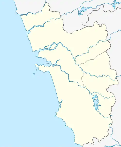
 Pomburpa Location in Goa, India  Pomburpa Pomburpa (India) | |
| Coordinates: 15°33′0″N 73°51′0″E / 15.55000°N 73.85000°E | |
| Country | |
| State | Goa |
| District | North Goa |
| Elevation | 68 m (223 ft) |
| Languages | |
| • Official | Konkani |
| Time zone | UTC+5:30 (IST) |
| Vehicle registration | GA |
| Coastline | 0 kilometres (0 mi) |
| Website | goa |
Pomburpa is a village in North Goa, India.
Geography
It is located at 15°33′0″N 73°51′0″E / 15.55000°N 73.85000°E at an elevation of 68 m above MSL.[1]
Places of interest
- Our Lady of Socorro Church
- Church of Our Lady of Miracles
- Pomburpa Spring
- El Cid Farm (Poultry Farm established in 1964)
- Lady De Corla Souza's Bar & Rest
References
- ↑ http://www.fallingrain.com/world/IN/33/Pomburpa.html Map and weather of Pomburpa
External links
This article is issued from Wikipedia. The text is licensed under Creative Commons - Attribution - Sharealike. Additional terms may apply for the media files.