Port Granby | |
|---|---|
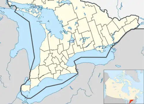
 Port Granby Location in southern Ontario | |
| Coordinates: 43°54′17″N 78°28′00″W / 43.90472°N 78.46667°W[1] | |
| Country | Canada |
| Province | Ontario |
| Regional Municipality | Durham |
| Municipality | Clarington |
| Settled | Summer 1796 |
| First mentioned | 1841 |
| Present name | 1848 |
| Elevation | 106 m (348 ft) |
| Time zone | UTC-5 (Eastern Time Zone) |
| • Summer (DST) | UTC-4 (Eastern Time Zone) |
| Area codes | 905, 289, 365 |
| [1] | |
Port Granby is a dispersed rural community in the municipality of Clarington, Regional Municipality of Durham in Ontario, Canada.[1][3][4][5][6] The community is on Lake Ontario at the mouth of Port Granby Creek,[4] and lies at an elevation of 106 metres (348 ft).[2]
History
The area was first settled in the summer of 1796, and Danforth's Road — from Toronto to the mouth of the Trent River, later extended via Prince Edward County to connect onward to Kingston — was completed through the area by Asa Danforth Jr. by 1799, but that route was superseded by Kingston Road further north, away from the Port Granby area, in 1817.[7] The community is first mentioned as the Village of Granby in 1841. A request to incorporate the Granby Harbor Company was made in 1846, and the community was officially named Port Granby in 1848. Grain and timber were the principal goods shipped from the port through the 19th century, but the village had mostly disappeared by the 1920s, with only a few homes and a post office remaining in 1936.[8]
References
- 1 2 3 "Port Granby". Geographical Names Data Base. Natural Resources Canada. Retrieved 2021-02-16.
- 1 2 "Google Earth". Retrieved 2021-02-16.
- ↑ "Toporama (on-line map and search)". Atlas of Canada. Natural Resources Canada. 12 September 2016. Retrieved 2021-02-16.
- 1 2 "Ontario Geonames GIS (on-line map and search)". Ontario Ministry of Natural Resources and Forestry. 2014. Retrieved 2021-02-16.
- ↑ Restructured municipalities - Ontario map #5 (Map). Restructuring Maps of Ontario. Ontario Ministry of Municipal Affairs and Housing. 2006. Archived from the original on 2020-05-11. Retrieved 2021-02-16.
- ↑ Map 3 (PDF) (Map). 1 : 700,000. Official road map of Ontario. Ministry of Transportation of Ontario. 2020-01-01. Retrieved 2021-02-16.
- ↑ van Dyke, Myno (June 2018). "The History of Port Granby" (PDF). Clarington Promoter. Retrieved 2021-02-16. (The author is credited as being from the Newcastle Village and District Historical Society, the local historical society).
- ↑ "The Lost Port of Port Granby". Doors Open Clarington. 2018-05-15. Retrieved 2021-02-16.