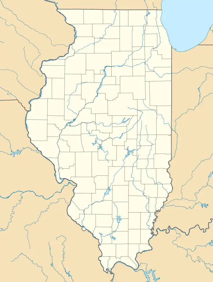
Poverty Ridge, Illinois | |
|---|---|
 Poverty Ridge  Poverty Ridge | |
| Coordinates: 40°27′43″N 90°20′27″W / 40.46194°N 90.34083°W | |
| Country | United States |
| State | Illinois |
| County | Fulton |
| Elevation | 663 ft (202 m) |
| Time zone | UTC-6 (Central (CST)) |
| • Summer (DST) | UTC-5 (CDT) |
| Area code | 309 |
| GNIS feature ID | 1802240[1] |
Poverty Ridge is an unincorporated community in Fulton County, Illinois, United States,[1] about eleven miles northwest of Lewistown.[2] Its elevation is 633 feet (202 m), and it is located at 40°27′43″N 90°20′27″W / 40.46194°N 90.34083°W (40.4619856, -90.3409579).[1] The community is named for a line of hills near Seville, which likewise is named Poverty Ridge.[2]
References
- 1 2 3 U.S. Geological Survey Geographic Names Information System: Poverty Ridge, Illinois
- 1 2 Callary, Edward. Place Names of Illinois. Urbana: U of Illinois P, 2008, 285.
This article is issued from Wikipedia. The text is licensed under Creative Commons - Attribution - Sharealike. Additional terms may apply for the media files.