Prigonrieux | |
|---|---|
 The town hall in Prigonrieux | |
.svg.png.webp) Coat of arms | |
Location of Prigonrieux | |
 Prigonrieux 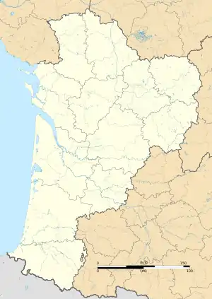 Prigonrieux | |
| Coordinates: 44°51′18″N 0°24′15″E / 44.855°N 0.4042°E | |
| Country | France |
| Region | Nouvelle-Aquitaine |
| Department | Dordogne |
| Arrondissement | Bergerac |
| Canton | Pays de la Force |
| Intercommunality | CA Bergeracoise |
| Government | |
| • Mayor (2020–2026) | Olivier Dupuy[1] |
| Area 1 | 26.12 km2 (10.08 sq mi) |
| Population | 4,292 |
| • Density | 160/km2 (430/sq mi) |
| Time zone | UTC+01:00 (CET) |
| • Summer (DST) | UTC+02:00 (CEST) |
| INSEE/Postal code | 24340 /24130 |
| Elevation | 12–118 m (39–387 ft) (avg. 28 m or 92 ft) |
| 1 French Land Register data, which excludes lakes, ponds, glaciers > 1 km2 (0.386 sq mi or 247 acres) and river estuaries. | |
Prigonrieux (French pronunciation: [pʁiɡɔ̃ʁjø]; Occitan: Prigond Riu) is a commune in the Dordogne department in Nouvelle-Aquitaine in southwestern France.
Population
| Year | Pop. | ±% p.a. |
|---|---|---|
| 1968 | 1,728 | — |
| 1975 | 2,461 | +5.18% |
| 1982 | 3,093 | +3.32% |
| 1990 | 3,721 | +2.34% |
| 1999 | 3,956 | +0.68% |
| 2007 | 3,895 | −0.19% |
| 2012 | 4,172 | +1.38% |
| 2017 | 4,157 | −0.07% |
| Source: INSEE[3] | ||
See also
References
- ↑ "Répertoire national des élus: les maires" (in French). data.gouv.fr, Plateforme ouverte des données publiques françaises. 13 September 2022.
- ↑ "Populations légales 2021". The National Institute of Statistics and Economic Studies. 28 December 2023.
- ↑ Population en historique depuis 1968, INSEE
Wikimedia Commons has media related to Prigonrieux.
This article is issued from Wikipedia. The text is licensed under Creative Commons - Attribution - Sharealike. Additional terms may apply for the media files.