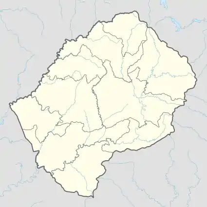
Qobong | |
|---|---|
Community Council | |
 Qobong Geographic Center of Community | |
| Coordinates: 30°04′46″S 27°47′21″E / 30.07944°S 27.78917°E | |
| Country | |
| District | Mohale's Hoek District |
| Elevation | 6,056 ft (1,846 m) |
| Population (2006) | |
| • Total | 9,324 |
| Time zone | UTC+2 (CAT) |
| Coordinates computed from Lesotho Villages file.[2] | |
Qobong is a community council located in the Mohale's Hoek District of Lesotho. Its population in 2006 was 9,324.[3]
Villages
The community of Qobong includes the villages of:
- Biafa
- Boiketlo
- Boitelo
- Boritsa
- Ha 'Mankieane
- Ha Beila
- Ha Challa
- Ha Koenane (Ha Maama)
- Ha Kori
- Ha Lepeli
- Ha Lephoto
- Ha Mahaha
- Ha Maponyane
- Ha Masia
- Ha Matebesi
- Ha Mavela
- Ha Mokoenehi
- Ha Mokotjane
- Ha Mololi
- Ha Mosaletsane
- Ha Moshaba (Ha Mpholle)
- Ha Motalane
- Ha Motopi
- Ha Motumi
- Ha Mpeki (Taung)
- Ha Nohana
- Ha Ntebele
- Ha Ntinyane
- Ha Ntja
- Ha Ntsokoane
- Ha Nyape
- Ha Pokola
- Ha Rabosiu
- Ha Ramorake
- Ha Ranyali
- Ha Raseboko
- Ha Sebili
- Ha Sebinane
- Ha Seithati
- Ha Sekhohola
- Ha Sele
- Ha Senyane
- Ha Sethobane
- Ha Shokhoa (Makunyapane)
- Ha Tau
- Ha Thaba
- Ha Tlhabeli
- Ha Toko
- Ha Tsuinyane
- Kamor'a-Thaba
- Khakhathane
- Khoating
- Khohlong
- Khorong
- Khorong (Ha Hlooana)
- Khotha
- Khubetsoana
- Khutsong
- Kokobe
- Lefarung
- Lekhalong
- Leqatha
- Leralleng
- Letlapeng
- Lichecheng
- Liefereng
- Lipereng
- Liqaleng
- Litšiloaneng
- Mabeleteng
- Mafika-Lisiu
- Maloreng
- Mamollo
- Mankung
- Masuoaneng
- Mateanong
- Matebeleng
- Materentseng
- Matlapaneng
- Matlopo
- Matsoapong
- Mokeke
- Mokoallong
- Paka-tsa-matsatsa
- Phohlokong
- Poling
- Qobong
- Qomo-Qomo (Mafikeng)
- Ralesollane
- Ralitšibana
- Sekokong
- Seshaing
- Terai Hoek
- Thaba-Lethu
- Thababa-Litlholo
- Thibella
- Thoteng
- Tšepong and Tsoelike.
References
- ↑ GTOPO30 via GeoNames. Retrieved 2010-09-27.
- ↑ Google Earth Download Site Retrieved 2010-07-21.
- ↑ Statoids.com
- ↑ Lesotho Bureau of Statistics, Village List Archived November 13, 2009, at the Wayback Machine 2006.
External links
This article is issued from Wikipedia. The text is licensed under Creative Commons - Attribution - Sharealike. Additional terms may apply for the media files.