Ramayapatnam | |
|---|---|
 Ramayapatnam Lighthouse | |
.svg.png.webp) Ramayapatnam Location in Andhra Pradesh, India 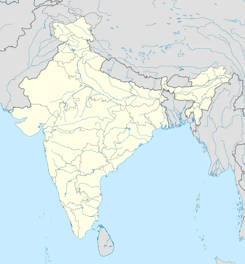 Ramayapatnam Ramayapatnam (India) | |
| Coordinates: 15°02′N 80°03′E / 15.033°N 80.050°E | |
| Country | India |
| State | Andhra Pradesh |
| District | SPS Nellore |
| Mandal | Ulavapadu |
| Government | |
| • Type | democratic |
| Languages | |
| • Official | Telugu |
| Time zone | UTC+5:30 (IST) |
Ramayapatnam is a small village in Ulavapadu mandal of Nellore district of Andhra Pradesh, India on the bank of the Bay of Bengal. It is located 4.5 km (2.8 mi) East of Tettu on NH-16. Its population is 2,236 as on 2011.
Ramayapatnam port
Ramayapatnam Port Development Corporation Limited (RPDCL), a joint venture of Navayuga Engineering Company Limited (NECL) and Aurobindo Realty & Infrastructure Pvt. Ltd (AR & IPL) is constructing the port. The detailed project report (DPR) for the new port was prepared by RITES Ltd. The expected operationalization is early 2024.[1]
References
- ↑ "Andhra Pradesh Maritime Board working to bring in first ship to Ramayapatnam port by early 2024". The Hindu. 10 September 2022. Retrieved 21 May 2023.
This article is issued from Wikipedia. The text is licensed under Creative Commons - Attribution - Sharealike. Additional terms may apply for the media files.