Randecker Maar | |
|---|---|
 | |
 Randecker Maar | |
| Coordinates: 48°34′27″N 9°31′23″E / 48.57417°N 9.52306°E | |
| Location | Swabian Jura |
| Range | Alps |
| Age | early Miocene |
| Dimensions | |
| • Width | 1.2 kilometres (0.75 mi) |
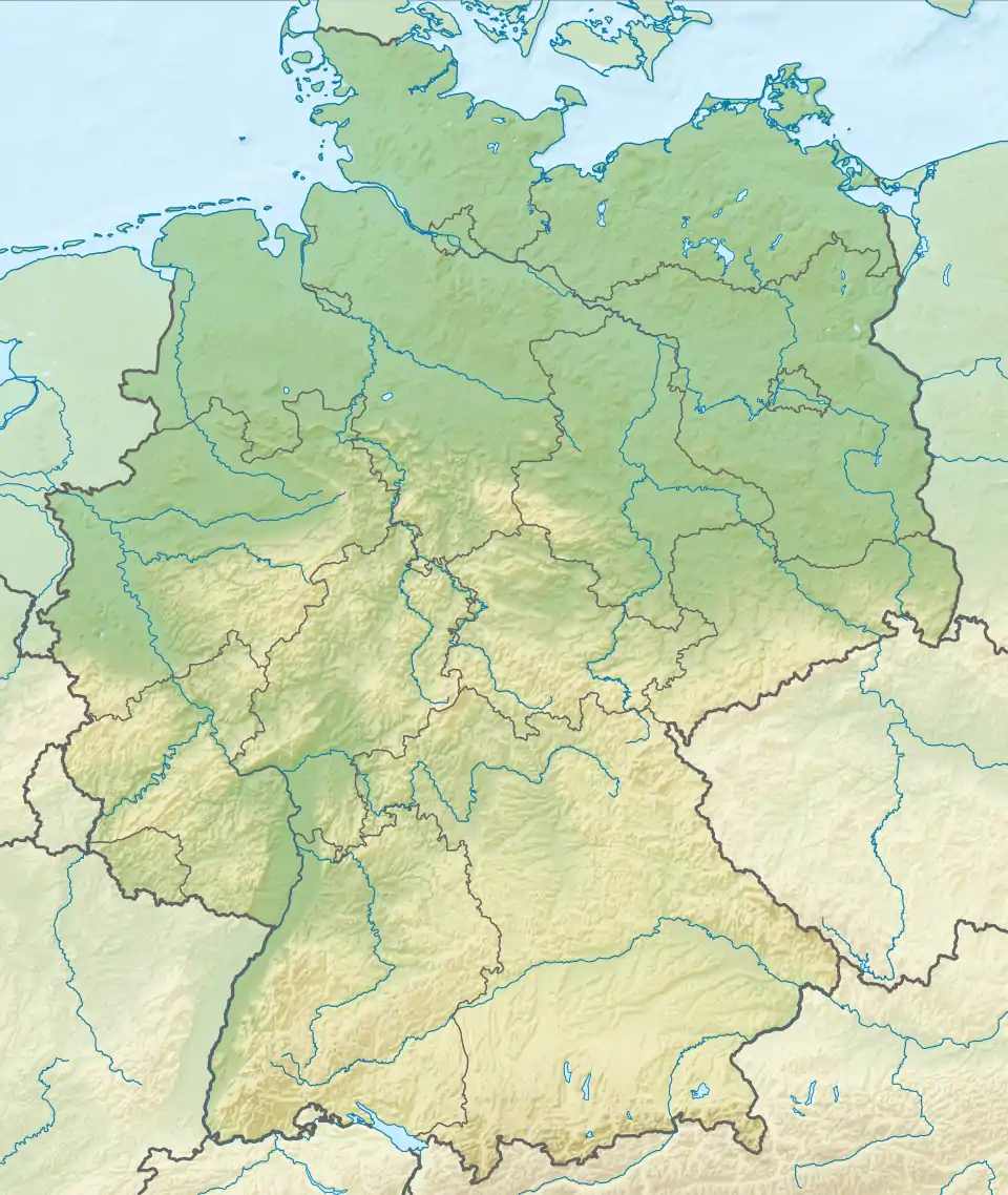
The Randecker Maar is a maar – a volcanic crater about 1.2 kilometres (0.75 miles) wide. It is in the Swabian Jura mountains, in the municipality Bissingen an der Teck near Stuttgart and was formed around 17 million years ago. A lake formed in the crater and its bed is now a layer of the early Miocene in which many fossils have been found.[1] Nowadays, the crater is drained by the Zipfelbach brook and so there is no longer a lake.
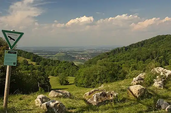
The northeastern wall of the crater has eroded and opens to lower ground. This forms a natural pass for the seasonal migration of birds and insects as they fly up and over the alps. This makes it a good point for observing these creatures and so an observatory was established there in 1969 by ornithologist Wulf Gatter – Forschungsstation Randecker Maar e.V..
The maar and gorge of the Zipfelbach were designated as a nature reserve by local ordinances in 1971 and 1990 to preserve the landscape and its fauna and flora for science and popular enjoyment. The area conserved is now 110 hectares (0.42 square miles).[2]
 A view to the NNE showing the pass and the Limburg beyond
References
Further reading
- Wulf Gatter [in German] (2000), Vogelzug und Vogelbestände in Mitteleuropa. 30 Jahre Beobachtung des Tagzugs am Randecker Maar, Wiebelsheim: Aula Verlag, ISBN 3-89104-645-6
- Günter Schweigert [in German] (1998), Das Randecker Maar – Ein fossiler Kratersee im Albtrauf, Stuttgart: Staatliches Museum für Naturkunde, ISSN 0341-0161
- Günter Schweigert [in German]; Günter Bechly [in German] (2001), "Bibliographie zur Geologie und Paläontologie des Randecker Maars (Unter-Miozän, Südwestdeutschland) 1825 – 2000" (PDF), Stuttgarter Beiträge zur Naturkunde, Stuttgart, no. B302, pp. 1–12, archived from the original (PDF) on 16 December 2019