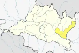
Rasnalu
रस्नालु GHUI Dada tabe forest | |
|---|---|
 Rasnalu Location in Nepal | |
| Coordinates: 27°34′N 86°13′E / 27.56°N 86.22°E | |
| Country | |
| Zone | Janakpur Zone |
| District | Ramechhap District |
| Population (1991) | |
| • Total | 4,424 |
| Time zone | UTC+5:45 (Nepal Time) |
Rasanalu is a village development committee in Ramechhap District in the Janakpur Zone of north-eastern Nepal. According to the 1991 Nepal census it had a population of 3,833 people living in 797 individual households.[1]
Rasnalu village lies between Those and Betali. The village has iron, copper, and stone mines. The castes living there include Sunuwar, Tamang, Bhote, Karki, Damaai, Kami, Bhujel, Thami and Shrestha. The village relies on agriculture and farming. Rice, potatoes, tea, wheat, dal, and maize are grown.
References
- ↑ "Nepal Census 2001", Nepal's Village Development Committees, Digital Himalaya, retrieved 15 November 2009.
External links
This article is issued from Wikipedia. The text is licensed under Creative Commons - Attribution - Sharealike. Additional terms may apply for the media files.
