Redavalle | |
|---|---|
| Comune di Redavalle | |
 Coat of arms | |
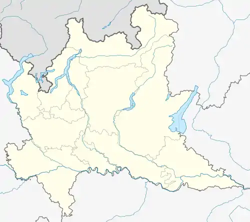
Location of Redavalle | |
 Redavalle Location of Redavalle in Italy  Redavalle Redavalle (Lombardy) | |
| Coordinates: 45°2′N 9°11′E / 45.033°N 9.183°E | |
| Country | Italy |
| Region | Lombardy |
| Province | Pavia (PV) |
| Frazioni | Calcababbio, Casa Ramati |
| Area | |
| • Total | 5.47 km2 (2.11 sq mi) |
| Elevation | 85 m (279 ft) |
| Population (Dec. 2004)[2] | |
| • Total | 1,028 |
| • Density | 190/km2 (490/sq mi) |
| Time zone | UTC+1 (CET) |
| • Summer (DST) | UTC+2 (CEST) |
| Postal code | 27050 |
| Dialing code | 0385 |
Redavalle is a comune (municipality) in the Province of Pavia in the Italian region Lombardy, located about 50 km south of Milan and about 15 km south of Pavia.
Redavalle borders the following municipalities: Barbianello, Broni, Pietra de' Giorgi, Santa Giuletta.
History
A Roman centre called Cameliomagus, Comillomagus or Camillomagus existed in the area. In the Middle Ages a settlement known as San Martino di Strada (St. Martin on the Road) replaced it, which was acquired by the commune of Pavia in 1164. It had a castle which was set on fire during the war against Frederick Barbarossa. San Martino's population gradually moved to Ridavalle, part of the fief of Broni.
Demographic evolution

Twin towns
References
- ↑ "Superficie di Comuni Province e Regioni italiane al 9 ottobre 2011". Italian National Institute of Statistics. Retrieved 16 March 2019.
- ↑ All demographics and other statistics: Italian statistical institute Istat.
This article is issued from Wikipedia. The text is licensed under Creative Commons - Attribution - Sharealike. Additional terms may apply for the media files.