| Rio Puerco de Chama Rio Coyote | |
|---|---|
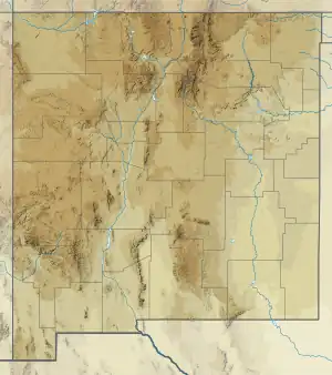 Location of the mouth of the Rio Puerco de Chama in New Mexico | |
| Native name | Day p'ohu'u, Nap'otap'o (Tewa)[1] |
| Location | |
| Country | United States |
| State | New Mexico |
| County | Rio Arriba |
| Physical characteristics | |
| Source | |
| • location | Nacimiento Mountains |
| • coordinates | 36°04′55″N 106°46′12″W / 36.08194°N 106.77000°W[2] |
| • elevation | 9,706 ft (2,958 m)[3] |
| Mouth | Rio Chama |
• coordinates | 36°15′51″N 106°31′24″W / 36.26417°N 106.52333°W[2] |
• elevation | 6,144 ft (1,873 m)[3] |
| Discharge | |
| • location | USGS gage, miles above mouth |
| • minimum | 0 cu ft/s (0 m3/s) |
The Rio Puerco de Chama is a tributary of the Rio Chama in the U.S. state of New Mexico. It flows northeast from the Nacimiento Mountains to join the Chama above Abiquiu Lake.
See also
References
- ↑ Poling-Kempes, Lesley (1997), Valley of Shining Stone: The Story of Abiquiu, University of Arizona Press, p. 9, ISBN 9780816514465
- 1 2 U.S. Geological Survey Geographic Names Information System: Rio Puerco
- 1 2 USGS topographic maps
This article is issued from Wikipedia. The text is licensed under Creative Commons - Attribution - Sharealike. Additional terms may apply for the media files.