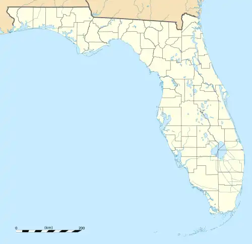
River Ridge, Florida | |
|---|---|
 River Ridge, Florida  River Ridge, Florida | |
| Coordinates: 28°16′02″N 82°37′29″W / 28.26722°N 82.62472°W | |
| Country | United States |
| State | Florida |
| County | Pasco |
| Area | |
| • Total | 4.418 sq mi (11.44 km2) |
| • Land | 4.418 sq mi (11.44 km2) |
| • Water | 0 sq mi (0 km2) |
| Elevation | 36 ft (11 m) |
| Population | |
| • Total | 4,702 |
| • Density | 1,100/sq mi (410/km2) |
| Time zone | UTC-5 (Eastern (EST)) |
| • Summer (DST) | UTC-4 (EDT) |
| Area code | 727 |
| GNIS feature ID | 2583379[2] |
River Ridge is an unincorporated community and census-designated place in Pasco County, Florida, United States. Its population was 4,702 as of the 2010 census.[1]
Geography
According to the U.S. Census Bureau, the community has an area of 4.418 square miles (11.44 km2), all of it land.[1]
It is east of New Port Richey, Florida and north east of Jay B. Starkey Wilderness Park. Located South of Florida State Road 52 inland from Hudson,[3] it is within the Tampa–St. Petersburg–Clearwater Metropolitan Statistical Area (MSA)[4] and the Southwest Florida Water Management District.
See also
References
- 1 2 3 4 "2010 Census Gazetteer Files - Places: Florida". U.S. Census Bureau. Retrieved March 26, 2017.
- ↑ "River Ridge Census Designated Place". Geographic Names Information System. United States Geological Survey, United States Department of the Interior.
- ↑ "The Hudson Landside Neighborhoods in Detail VII Meadow Oaks". www.hudsonfla.com. Retrieved February 4, 2022.
- ↑ "Map of Tampa-St. Petersburg-Clearwater MSA" (PDF). United States Census Bureau, U.S. DEPARTMENT OF COMMERCE, Economics and Statistics Administration. Retrieved January 22, 2020.
This article is issued from Wikipedia. The text is licensed under Creative Commons - Attribution - Sharealike. Additional terms may apply for the media files.
