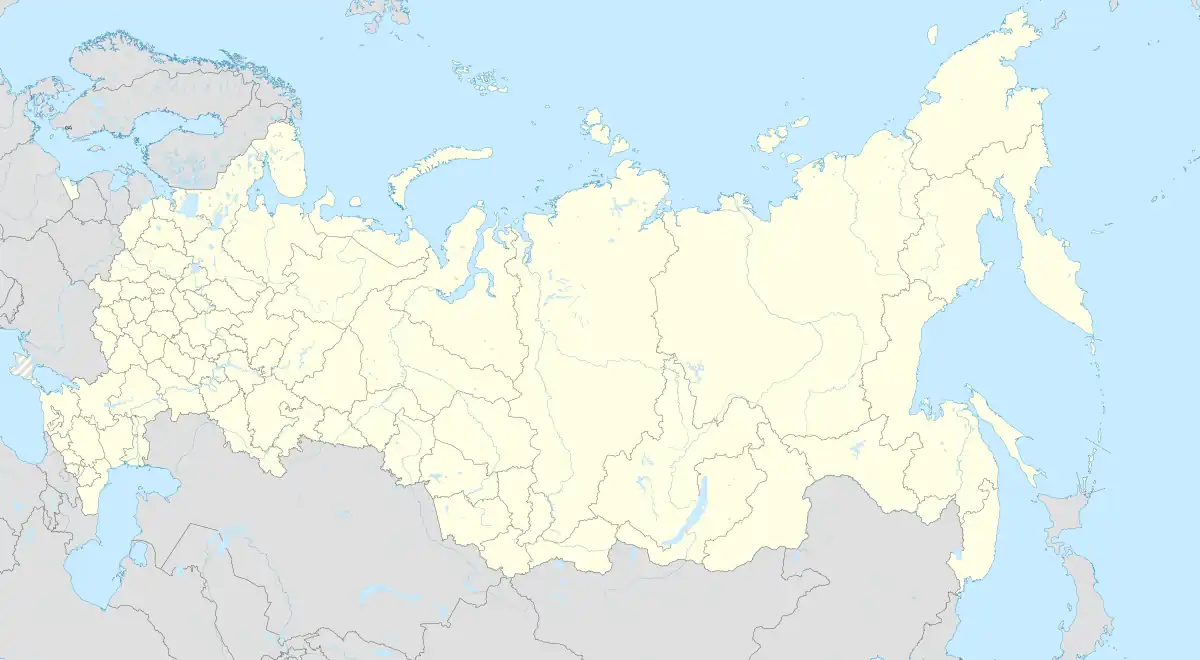
Romanovka
Романовка | |
|---|---|
Selo | |
.svg.png.webp) Romanovka  Romanovka | |
| Coordinates: 53°13′N 112°46′E / 53.217°N 112.767°E[1] | |
| Country | Russia |
| Region | Republic of Buryatia |
| District | Bauntovsky District |
| Elevation | 870 m (2,850 ft) |
| Time zone | UTC+8:00 |
Romanovka (Russian: Романовка) is a rural locality (a selo) and the administrative centre of Vitimskoye Rural Settlement, Bauntovsky District, Republic of Buryatia, Russia. The population was 1,198 as of 2017.[2] There are 17 streets.
Geography
Romanovka is located in the Vitim Plateau, 171 km south of Bagdarin (the district's administrative centre) by road.[3] The P436 regional road connecting Ulan-Ude and Chita passes through Romanovka across the plateau. Road P437 connecting Romanovka and Bagdarin begins in the town.
Climate
| Climate data for Romanovka (extremes 1936-present) | |||||||||||||
|---|---|---|---|---|---|---|---|---|---|---|---|---|---|
| Month | Jan | Feb | Mar | Apr | May | Jun | Jul | Aug | Sep | Oct | Nov | Dec | Year |
| Record high °C (°F) | −0.8 (30.6) |
5.2 (41.4) |
18.0 (64.4) |
26.5 (79.7) |
32.2 (90.0) |
35.3 (95.5) |
35.9 (96.6) |
34.2 (93.6) |
28.7 (83.7) |
23.6 (74.5) |
10.0 (50.0) |
2.0 (35.6) |
35.9 (96.6) |
| Mean daily maximum °C (°F) | −18.2 (−0.8) |
−10.8 (12.6) |
−2.3 (27.9) |
7.0 (44.6) |
15.7 (60.3) |
22.6 (72.7) |
24.5 (76.1) |
21.6 (70.9) |
14.7 (58.5) |
4.8 (40.6) |
−8.0 (17.6) |
−17.5 (0.5) |
4.5 (40.1) |
| Daily mean °C (°F) | −26.0 (−14.8) |
−20.2 (−4.4) |
−11.3 (11.7) |
−0.5 (31.1) |
7.5 (45.5) |
14.3 (57.7) |
16.8 (62.2) |
14.0 (57.2) |
6.6 (43.9) |
−2.7 (27.1) |
−15.4 (4.3) |
−24.3 (−11.7) |
−3.4 (25.8) |
| Mean daily minimum °C (°F) | −32.8 (−27.0) |
−29.2 (−20.6) |
−21.1 (−6.0) |
−8.5 (16.7) |
−1.0 (30.2) |
5.7 (42.3) |
9.5 (49.1) |
7.2 (45.0) |
−0.4 (31.3) |
−9.5 (14.9) |
−22.0 (−7.6) |
−30.2 (−22.4) |
−11.0 (12.2) |
| Record low °C (°F) | −54.5 (−66.1) |
−52.3 (−62.1) |
−45.8 (−50.4) |
−32.6 (−26.7) |
−16.8 (1.8) |
−7.4 (18.7) |
−3.4 (25.9) |
−7.1 (19.2) |
−18.8 (−1.8) |
−35.3 (−31.5) |
−45.0 (−49.0) |
−49.2 (−56.6) |
−54.5 (−66.1) |
| Average precipitation mm (inches) | 3.1 (0.12) |
1.9 (0.07) |
4.2 (0.17) |
14.5 (0.57) |
33.4 (1.31) |
51.8 (2.04) |
91.6 (3.61) |
85.0 (3.35) |
45.7 (1.80) |
9.4 (0.37) |
7.1 (0.28) |
4.6 (0.18) |
352.3 (13.87) |
| Source: pogoda.ru.net[4] | |||||||||||||
References
- ↑ Карта Баунтовского эвенкийского района Бурятии
- ↑ Численность населения Российской Федерации по муниципальным образованиям на 1 января 2017 года Retrieved 2017-07-31.
- ↑ Расстояние от Романовки до Багдарина
- ↑ "Климат Романовки" (in Russian). Retrieved December 29, 2022.
This article is issued from Wikipedia. The text is licensed under Creative Commons - Attribution - Sharealike. Additional terms may apply for the media files.