Rosita | |
|---|---|
Municipality | |
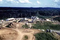
 Rosita and Bonanza Mine and town complex in the late 1950s | |
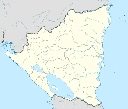
 Rosita Location in Nicaragua | |
| Coordinates: 13°53′N 84°24′W / 13.883°N 84.400°W | |
| Country | |
| Department | North Caribbean Autonomous Region |
| Area | |
| • Municipality | 851 sq mi (2,205 km2) |
| Elevation | 190 ft (58 m) |
| Population (2022 estimate)[1] | |
| • Municipality | 38,629 |
| • Density | 45/sq mi (18/km2) |
| • Urban | 16,193 |
| Time zone | UTC-6 (Central Time) |
| • Summer (DST) | UTC-6 (No DST) |
| Climate | Af |
Rosita (Spanish pronunciation: [roˈsita]) is a town and a municipality in the North Caribbean Autonomous Region of Nicaragua.
The town has a population of 16,193 (2022 estimate). Rosita is also sometimes called La Rosita.
External links
- Pictorial History of Rosita - to view more photos of Rosita mine and town between 1956 and 1961, go to this address to see Siuna area photos including Rosita area: https://web.archive.org/web/20100117035333/http://picasaweb.google.com/JimDrebert/SiunaNicaragua1955To1961

Mining town of Rosita and Bonanza area filmed in the late 1950s

Rosita and Bonanza Mine complex in the late 1950s
References
- ↑ Citypopulation.de Population of Rosita municipality
13°53′N 84°24′W / 13.883°N 84.400°W
This article is issued from Wikipedia. The text is licensed under Creative Commons - Attribution - Sharealike. Additional terms may apply for the media files.
