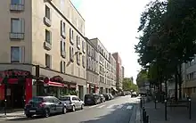
 Looking toward Boulevard Lefebvre. | |
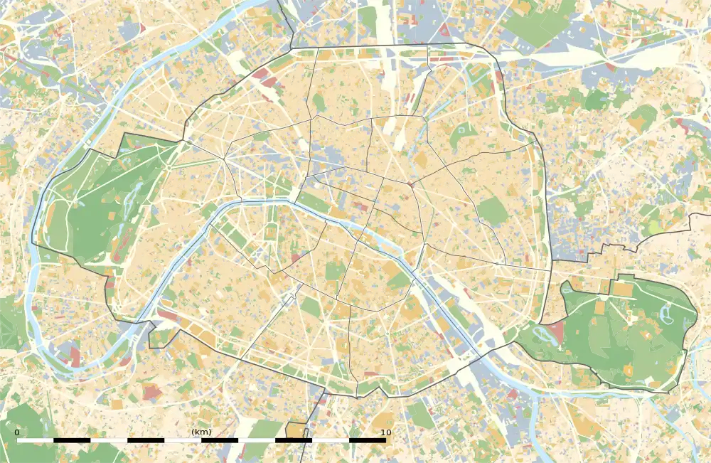
 Shown within Paris | |
| Length | 910 m (2,990 ft) |
|---|---|
| Width | 20 m (66 ft) |
| Arrondissement | 15th |
| Quarter | Saint-Lambert |
| Coordinates | 48°49′55″N 2°18′10″E / 48.831857°N 2.302805°E |
| From | 6, Place d'Alleray |
| To | 167, Boulevard Lefebvre |
| Construction | |
| Denomination | 1864 |
The Rue Brancion is a street in the Saint-Lambert quarter in the 15th arrondissement of Paris, France.[1]
Route
Rue Brancion starts at 6, Place d'Alleray and ends at 167, Boulevard Lefebvre.[1]
It forms the eastern boundary of Parc Georges-Brassens and crosses over the disused tracks of the Petite Ceinture railway line.
- The Petite Ceinture line seen from the Rue Brancion


History
In 1864, the street was named after Colonel Adolphe-Ernest Raguet de Brancion, who was killed in the Malakoff bastion attack in 1855.[1]
The southern part of the street, between Rue des Morillons and Boulevard Lefebvre, was previously known as "rue du Pont de Turbigo".[1]
The street was extended from Rue des Morillons to Rue de Vouillé in 1901, then from Rue de Vouillé to Rue d'Alleray in 1906.[2]
Important and historical buildings
- No. 10: headquarters of the chairman of France Télécom, then of the Directorate of Population and Migration (2001–06).[3]
- No. 104: entrance of the former horse market building of the Vaugirard slaughterhouses; now the Parc Georges-Brassens. Every Saturday and Sunday since 1987, around 50 booksellers gather here for the ancient and second-hand book market.
 The former horse market building, where the book market takes place every weekend
 Entrance of the former Vaugirard slaughterhouses, at the intersection of Rue des Morillons and Rue Brancion.
- In front of this entrance, there are two statues:
- Statues
 François Barbaud.
- A bit further, the entryway leads to the Monfort-Théâtre.
- Théâtre Le Monfort


References
- 1 2 3 4 "rue Brancion". v2asp.paris.fr (in French). Paris City Council. June 9, 2008. Retrieved April 9, 2019.
- ↑ Jacques Hillairet. Dictionnaire historique des rues de Paris (in French). Paris: Les Éditions de Minuit. p. 237. ISBN 2-7073-1054-9. OCLC 466966117.
- ↑ "L'organisation des services centraux du ministère du travail 1945–2012". Les Cahiers du comité d’histoire des administrations chargées du travail, de l’emploi et de la formation professionnelle (PDF) (in French). Vol. I : 1945–1989. December 2012. p. 12.
This article is issued from Wikipedia. The text is licensed under Creative Commons - Attribution - Sharealike. Additional terms may apply for the media files.