São Brás | |
|---|---|
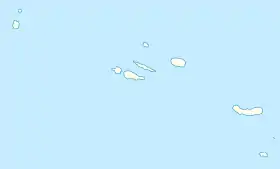
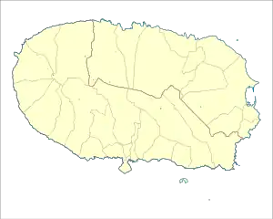
 São Brás Location in the Azores  São Brás São Brás (Terceira) | |
| Coordinates: 38°45′48″N 27°7′55″W / 38.76333°N 27.13194°W | |
| Country | |
| Auton. region | Azores |
| Island | Terceira |
| Municipality | Praia da Vitória |
| Established | Settlement: fl. 1480 Parish: fl. 1500 Civil parish: 17 February 1951 |
| Area | |
| • Total | 4.68 km2 (1.81 sq mi) |
| Elevation | 114 m (374 ft) |
| Population (2011) | |
| • Total | 1,088 |
| • Density | 230/km2 (600/sq mi) |
| Time zone | UTC−01:00 (AZOT) |
| • Summer (DST) | UTC±00:00 (AZOST) |
| Postal code | 9760-664 |
| Area code | 292 |
| Website | www |
São Brás (Portuguese: Saint Blaise) is a landlocked civil parish in the municipality of Praia da Vitória on the Portuguese island of Terceira in the Azores. The population in 2011 was 1,088,[1] in an area of 4.68 km².[2] It contains the localities Baldio, Canada da Quinta, Canada das Covas, Cruz, Fundões, Ladeira do Cardosa, Lourais, Quatro Canadas and São Brás.
References
This article is issued from Wikipedia. The text is licensed under Creative Commons - Attribution - Sharealike. Additional terms may apply for the media files.