Słupy | |
|---|---|
Village | |
 Słupy 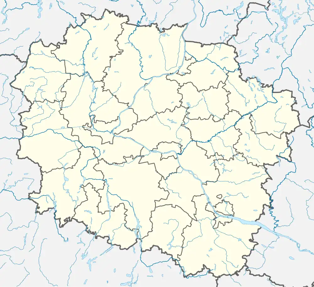 Słupy | |
| Coordinates: 53°36′N 17°48′E / 53.600°N 17.800°E | |
| Country | |
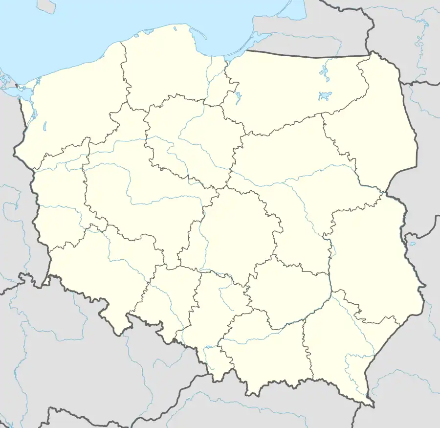
| Voivodeship | Kuyavian-Pomeranian |
| County | Tuchola |
| Gmina | Tuchola |
| Time zone | UTC+1 (CET) |
| • Summer (DST) | UTC+2 (CEST) |
| Vehicle registration | CTU |
Słupy [ˈswupɨ] is a village in the administrative district of Gmina Tuchola, within Tuchola County, Kuyavian-Pomeranian Voivodeship, in north-central Poland.[1] It lies approximately 4 kilometres (2 mi) west of Tuchola and 56 km (35 mi) north of Bydgoszcz. It is located in the historic region of Pomerania.
Słupy was a royal village of the Polish Crown, administratively located in the Tuchola County in the Pomeranian Voivodeship.[2]
References
- ↑ "Central Statistical Office (GUS) – TERYT (National Register of Territorial Land Apportionment Journal)" (in Polish). 2008-06-01.
- ↑ Biskup, Marian; Tomczak, Andrzej (1955). Mapy województwa pomorskiego w drugiej połowie XVI w. (in Polish). Toruń. p. 124.
{{cite book}}: CS1 maint: location missing publisher (link)

This article is issued from Wikipedia. The text is licensed under Creative Commons - Attribution - Sharealike. Additional terms may apply for the media files.