San José Acoculco | |
|---|---|
Town | |
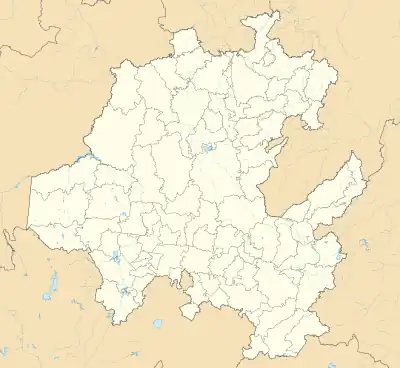 San José Acoculco Location in Mexico 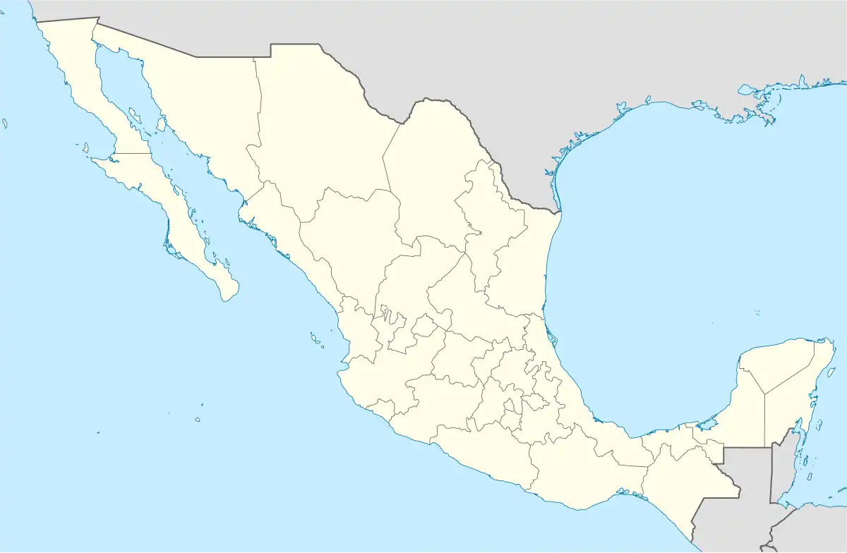 San José Acoculco San José Acoculco (Mexico) | |
| Coordinates: 19°58′10″N 99°18′04″W / 19.96944°N 99.30111°W | |
| Country | |
| State | Hidalgo |
| Municipality | Atotonilco de Tula |
| Area | |
| • Total | 159.3 km2 (61.5 sq mi) |
| [1] | |
| Time zone | UTC-6:00 (Central) |
| Area code | 778[2] |
San José Acoculco is a town in the municipality of Atotonilco de Tula in the Mexican state of Hidalgo.
Toponymy
Acocolco from Acúlco, atl, water, coltic, twisted or bent, co, ending: “Place where the water twists.”[3][4]
Geography
It is located in the region of Mezquital Valley, the locality corresponds to the geographical coordinates 19° 58' 9.301” of latitude north and 99° 18' 4.063” of length west, with an altitude of 2121 m.s.m.l.[5] It’s located at an approximate distance of 9.54 kilometers to the southwest of the municipal capital, Atotonilco de Tula.
As for physiography it is located within the province of the Neo-volcanic Axis within the sub-province of Lakes and Volcanoes of Anáhuac; its land is hillock.[6][7][8] With regard to the hydrography it is positioned in the Panuco region, within the basin of the Moctezuma River, in the sub-basin of the El Salto River.[6][7][9] It has a temperate semi-dry climate.[6][7][10]
Demographics
In 2020, it registered a population of 757 people, which corresponds to 1.21% of the municipal population. [11] Of which 368 are men and 389 are women. [11] It has 199 inhabited private homes.[11]
| Year | Pop. | ±% |
|---|---|---|
| 1940 | 180 | — |
| 1950 | 196 | +8.9% |
| 1960 | 257 | +31.1% |
| 1970 | 365 | +42.0% |
| 1980 | 351 | −3.8% |
| 1990 | 433 | +23.4% |
| 1995 | 494 | +14.1% |
| 2000 | 542 | +9.7% |
| 2005 | 461 | −14.9% |
| 2010 | 688 | +49.2% |
| 2020 | 757 | +10.0% |
Economy
The town has a medium degree of marginalization and a low degree of social backwardness.[11]
See also
References
- ↑ Instituto Nacional de Estadística y Geografía (2010). "Principales resultados por localidad 2010 (ITER)".
- ↑ Telmex. "LADA Keys Consultation". Telephones of Mexico. Retrieved September 2, 2018.
- ↑ Peñafiel, Antonio. Geographic Nomenclature of Mexico. Second part. Mexico. Typographic Office of the Ministry of Public Works, 1897.
- ↑ García Cubas, Antonio. Geographic, Historical and Biographical Dictionary of the United Mexican States. Volume I. Mexico. Old Murguía Printing Press, 1888.
- ↑ INEGI. "Historical archive of geostational locations". National Institute of Statistics and Geography. Retrieved December 28, 2020.
- 1 2 3 National Institute for Federalism and Municipal Development (2013). "Encyclopedia of the Municipalities and Delegations of Mexico: Atotonilco de Tula, Hidalgo". Secretariat of the Interior. Retrieved September 2, 2018.
{{cite web}}: CS1 maint: url-status (link) - 1 2 3 INEGI. "Atotonilco de Tula, Hidalgo" (PDF). Municipal geographic information record of the United Mexican States. Retrieved September 2, 2018.
- ↑ INEGI. "Physiography". Geostatistical Framework. Retrieved December 28, 2020.
- ↑ INEGI. "Hydrography". Geostatistical Framework. Retrieved December 28, 2020.
- ↑ INEGI. "Climatology". Geostatistical Framework. Retrieved December 28, 2020.
- 1 2 3 4 Catalog Localities - Microregions. "San José Acoculco". Secretaría de Desarrollo Social. Gobierno de México. Retrieved September 2, 2018.