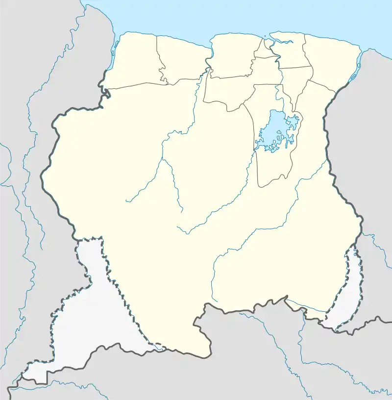
Sandlanding | |
|---|---|
 Sandlanding Location in Suriname | |
| Coordinates: 5°9′47″N 57°10′12″W / 5.16306°N 57.17000°W | |
| Country | Suriname |
| District | Sipaliwini District |
| Resort | Kabalebo |
| Population (2007) | |
| • Total | 33[1] |
Sandlanding is a Tiriyó village in the Sipaliwini District of Suriname. The village lies just south of Apoera, which is mainly inhabited by Arowaks.
Most of the villagers originally came from Kwamalasamutu who had settled in Wanapan.[2] Sandlanding was founded by Tiriyó families with schoolgoing children from the village of Wanapan, who wanted to live closer to the schools of Apoera.[3] The inhabitants of Sandlanding still fall under the authority of the captain of Wanapan. Sandlanding lies within the customary lands of the Arowak, however, and by agreement between captain Alapate of Wanapan and captain Lewis of Apoera, Sandlanding residents can appeal to the latter for needs.[4]
Notes
- ↑ Heemskerk & Delvoye 2007, p. 22.
- ↑ "WEST SURINAME: WAT BETEKENT EEN GEΪNTEGREERDE ALUMINIUM INDUSTRIE VOOR DE INHEEMSE GEMEENSCHAPPEN? Page 37" (PDF). The North-South Institute (in Dutch). 1997. Retrieved 21 June 2020.
- ↑ Heemskerk & Delvoye 2007, p. 82.
- ↑ Heemskerk & Delvoye 2007, p. 101.
References
- Heemskerk, Marieke; Delvoye, Katia (2007). Trio Baseline Study: A sustainable livelihoods perspective on the Trio Indigenous Peoples of South Suriname (PDF). Paramaribo: Stichting Amazon Conservation Team-Suriname.
- Mans, Jimmy (2012). Amotopoan trails: a recent archaeology of Trio movements. Leiden: Sidestone Press. hdl:1887/19857. ISBN 978-90-8890-098-3.
This article is issued from Wikipedia. The text is licensed under Creative Commons - Attribution - Sharealike. Additional terms may apply for the media files.