Sant Vicenç dels Horts | |
|---|---|
 Town hall | |
 Flag  Coat of arms | |
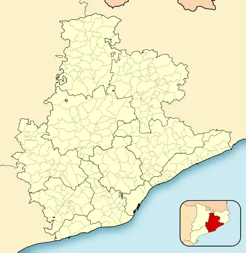
 Sant Vicenç dels Horts Location within Spain  Sant Vicenç dels Horts Sant Vicenç dels Horts (Spain) | |
| Coordinates: 41°23′43″N 2°0′39″E / 41.39528°N 2.01083°E | |
| Country | |
| Community | |
| Province | Barcelona |
| Comarca | Baix Llobregat |
| Government | |
| • Mayor | Maite Aymerich i Boltà (2015)[1] (ERC) |
| Area | |
| • Total | 9.1 km2 (3.5 sq mi) |
| Elevation | 22 m (72 ft) |
| Population (2018)[3] | |
| • Total | 27,901 |
| • Density | 3,100/km2 (7,900/sq mi) |
| Website | www |
Sant Vicenç dels Horts is a municipality in the Province of Barcelona in Catalonia, Spain. It is situated on the right bank of the Llobregat river, on the N-340 road from Molins de Rei to Vilafranca del Penedès. The main rail lines of the Llobregat corridor pass through the town: the station is served by the FGC services S4, S7, S8, S33, R5 and R6. The remains of an Iberic village are visible at Puig Castellar.
The GR 92 long distance footpath, which roughly follows the length of the Mediterranean coast of Spain, has a staging point at Sant Vicenç dels Horts. Stage 19 links northwards to Baixador de Vallvidrera station, a distance of 13.6 kilometres (8.5 mi), whilst stage 20 links southwards to Bruguers, a distance of 16.2 kilometres (10.1 mi).[4]
Demography
| 1900 | 1930 | 1950 | 1970 | 1986 | 2002 |
|---|---|---|---|---|---|
| 1809 | 1919 | 3295 | 14,509 | 20,397 | 26,008 |
References
- ↑ "Ajuntament de Sant Vicenç dels Horts". Generalitat of Catalonia. Retrieved 2015-11-13.
- ↑ "El municipi en xifres: Sant Vicenç dels Horts". Statistical Institute of Catalonia. Retrieved 2015-11-23.
- ↑ Municipal Register of Spain 2018. National Statistics Institute.
- ↑ "GR 92: Sender de la Mediterrània" [GR 92: Mediterranian Path]. www.catalunya.com (in Catalan). Archived from the original on 7 November 2022. Retrieved 7 November 2022.
External links
- Government data pages (in Catalan)
.svg.png.webp)