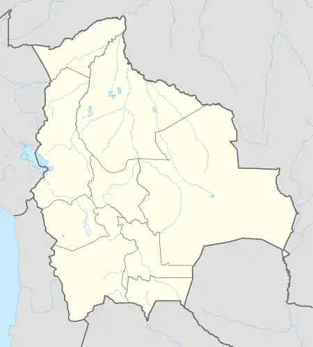
Santiago de Huata | |
|---|---|
 Santiago de Huata | |
| Coordinates: 16°05′00″S 68°50′00″W / 16.08333°S 68.83333°W | |
| Country | |
| Department | La Paz |
| Province | Omasuyos |
| Government | |
| • Mayor | Roberto Huaycho Villca |
| Area | |
| • Total | 125 km2 (48 sq mi) |
| Elevation | 3,911 m (12,831 ft) |
| Population (2020) | |
| • Total | 9,158 |
| • Density | 73/km2 (190/sq mi) |
| Language | |
| • Official | Spanish |
| Time zone | UTC-4 (BOT) |
Santiago de Huata is a town and municipality in Omasuyos Province, La Paz Department, Bolivia. It is located in the eastern shore of Lake Titicaca, at an average elevation of 3911 meters above the sea level.[1] The municipality has a population of 9,158 in 2020.[2]
Climate
Santiago de Huata has a Tundra Climate (ET) under the Köppen Climate Classification. It receives the most rainfall in January, with an average precipitation of 222 mm; and the least rainfall in July, with an average precipitation of 17 mm.
| Climate data for Santiago de Huata | |||||||||||||
|---|---|---|---|---|---|---|---|---|---|---|---|---|---|
| Month | Jan | Feb | Mar | Apr | May | Jun | Jul | Aug | Sep | Oct | Nov | Dec | Year |
| Mean daily maximum °C (°F) | 11.7 (53.1) |
11.8 (53.2) |
11.8 (53.2) |
11.5 (52.7) |
11.6 (52.9) |
11.5 (52.7) |
11.3 (52.3) |
12.3 (54.1) |
13.0 (55.4) |
13.3 (55.9) |
13.7 (56.7) |
12.4 (54.3) |
12.2 (53.9) |
| Daily mean °C (°F) | 8.7 (47.7) |
8.7 (47.7) |
8.7 (47.7) |
8.4 (47.1) |
8.0 (46.4) |
7.6 (45.7) |
7.1 (44.8) |
7.7 (45.9) |
8.5 (47.3) |
9.2 (48.6) |
9.8 (49.6) |
9.2 (48.6) |
8.5 (47.3) |
| Mean daily minimum °C (°F) | 6.2 (43.2) |
6.3 (43.3) |
6.2 (43.2) |
5.7 (42.3) |
4.8 (40.6) |
4.1 (39.4) |
3.4 (38.1) |
3.8 (38.8) |
4.6 (40.3) |
5.6 (42.1) |
6.5 (43.7) |
6.5 (43.7) |
5.3 (41.6) |
| Average rainfall mm (inches) | 222 (8.7) |
185 (7.3) |
145 (5.7) |
74 (2.9) |
26 (1.0) |
18 (0.7) |
17 (0.7) |
23 (0.9) |
41 (1.6) |
76 (3.0) |
98 (3.9) |
176 (6.9) |
1,101 (43.3) |
| Source: Climate-Data.org[3] | |||||||||||||
References
- ↑ "Santiago de Huata topographic map, elevation, terrain". Topographic maps. Retrieved 19 October 2023.
- ↑ "Santiago de Huata (Municipality, Bolivia) - Population Statistics, Charts, Map and Location". www.citypopulation.de. Retrieved 19 October 2023.
- ↑ "Santiago de Huata climate: Temperature Santiago de Huata & Weather By Month - Climate-Data.org". en.climate-data.org. Retrieved 19 October 2023.
This article is issued from Wikipedia. The text is licensed under Creative Commons - Attribution - Sharealike. Additional terms may apply for the media files.