| Schwarzsee | |
|---|---|
| Lac Noir | |
| Lèc d'Omène (Arpitan) | |
 | |
 Schwarzsee  Schwarzsee  Schwarzsee | |
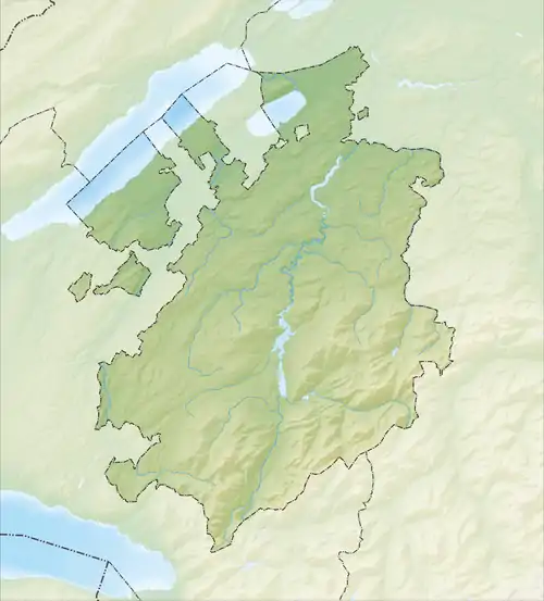
| Location | Canton of Fribourg |
| Coordinates | 46°39′55″N 7°16′50″E / 46.66528°N 7.28056°E |
| Primary inflows | Euschelsbach, Seeweidbach |
| Primary outflows | Warme Sense |
| Basin countries | Switzerland |
| Max. length | 1.4 km (0.87 mi) |
| Max. width | 0.5 km (0.31 mi) |
| Surface area | 0.47 km2 (0.18 sq mi) |
| Max. depth | 10 m (33 ft) |
| Surface elevation | 1,046 m (3,432 ft) |
| Settlements | Plaffeien |
| Website | https://www.schwarzsee.ch |
Schwarzsee (German: [ˈʃvartszeː]) or Lac Noir (French: [lak nwaʁ]; English: "Black Lake";[1][2][3] rarely Lac Domène; Arpitan: Lèc d'Omène [ˈle dɔˈmɛn(ə)] ⓘ), is a small lake in the Canton of Fribourg, Switzerland with an area of 0.47 km2 (0.18 sq mi). The lake in the Swiss Prealps is bordered by the peaks of Schwyberg (1,628 m) in the West, Les Reccardets (1,923 m) and Spitzfluh (1,951 m) in the South, as well as Kaiseregg (2,185 m).

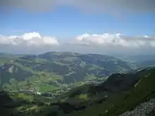
La vallée du Lac Noir

Aerial view from 2000 m by Walter Mittelholzer (1925)
See also
References
- ↑ Tissot, Victor. 2007. Unknown Switzerland. New York: A. D. F. Randolph & Co., p. 346.
- ↑ Michelin Tyre Public Limited Company. 2001. Switzerland. London: News Chronicle Book Department, p. 148.
- ↑ Switzerland Tourism. 2017. Schwarzsee, Fribourg Region.
External links
 Media related to Schwarzsee, lake in Fribourg at Wikimedia Commons
- Schwarzsee.ch (in English, German, and French) tourism information
- Schwarzsee in German, French and Italian in the online Historical Dictionary of Switzerland.
This article is issued from Wikipedia. The text is licensed under Creative Commons - Attribution - Sharealike. Additional terms may apply for the media files.