| Seaview | |
|---|---|
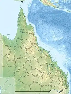
 Location of the Seaview Range in Queensland | |
| Highest point | |
| Elevation | 707 m (2,320 ft) |
| Geography | |
| Country | Australia |
| State | Queensland |
| Region | Far North Queensland |
| Range coordinates | 18°38.4′S 145°53.05′E / 18.6400°S 145.88417°E |
| Parent range | Great Dividing Range |
The Seaview Range, part of the Great Dividing Range, is a mountain range located west of Ingham in North Queensland, Australia. Much of the range is covered by rainforest and parts of it are protected in the Girringun National Park and the Wet Tropics of Queensland world heritage area.
The range is the headwaters for the Burdekin River,[1] the Herbert River and contains Wallaman Falls.
History
The Seaview Range was first explored by Frederick Manson Bailey in 1873. It was nominated for listing on the National Heritage Register in 1978.[2]
See also
References
- ↑ "Rivers - Assessment of River Condition - Queensland". Australian Natural Resources Atlas. Department of the Environment, Water, Heritage and the Arts. Archived from the original on 8 October 2009. Retrieved 5 January 2010.
- ↑ "History of World Heritage listing". Wet Tropics Management Authority. Archived from the original on 12 September 2009. Retrieved 5 January 2010.
This article is issued from Wikipedia. The text is licensed under Creative Commons - Attribution - Sharealike. Additional terms may apply for the media files.