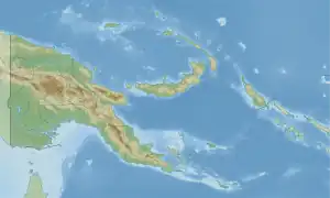
| Segero Creek Segera River, Sagero Creek | |
|---|---|
 Location within Papua New Guinea | |
| Location | |
| Country | |
| Region | Western Province |
| Physical characteristics | |
| Source | |
| • location | Papua New Guinea |
| Mouth | |
• coordinates | 8°13′53″S 143°32′11″E / 8.23152°S 143.53626°E |
Segero Creek (also Segera River or Sagero Creek) is a creek located in Western Province, Papua New Guinea.[1][2]
Segero village (8°13′56″S 143°32′12″E / 8.232149°S 143.536743°E), where the Tabo language is spoken,[3] is located on banks of the creek.[4]
See also
References
- ↑ Segera River in Geonames.org (cc-by); post updated 2012-01-17; database downloaded 2015-06-22
- ↑ "HOTOSM Papua New Guinea Waterways (OpenStreetMap Export)". Humanitarian Data Exchange. 1.31.9. Retrieved 5 June 2019.
- ↑ Eberhard, David M.; Simons, Gary F.; Fennig, Charles D., eds. (2019). "Papua New Guinea languages". Ethnologue: Languages of the World (22nd ed.). Dallas: SIL International.
- ↑ United Nations in Papua New Guinea (2018). "Papua New Guinea Village Coordinates Lookup". Humanitarian Data Exchange. 1.31.9.
This article is issued from Wikipedia. The text is licensed under Creative Commons - Attribution - Sharealike. Additional terms may apply for the media files.