Seneca, Wisconsin | |
|---|---|
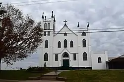
 St. Patrick's Catholic Church in Seneca | |
 Seneca  Seneca | |
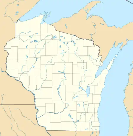
| Coordinates: 43°15′54″N 90°57′30″W / 43.26500°N 90.95833°W | |
| Country | |
| State | |
| County | Crawford |
| Town | Seneca |
| Elevation | 382 m (1,253 ft) |
| Time zone | UTC-6 (Central (CST)) |
| • Summer (DST) | UTC-5 (CDT) |
| ZIP code | 54654 |
| Area code | 608 |
| GNIS feature ID | 1573899[1] |
Seneca is an unincorporated community in the town of Seneca, Crawford County, Wisconsin, United States. Seneca is on Wisconsin Highway 27 4 miles (6.4 km) south-southwest of Mount Sterling.[2] Seneca has a post office with ZIP code 54654.[3] Seneca Area School District and Seneca High School is located in the community.[4]
References
Wikimedia Commons has media related to Seneca (community), Crawford County, Wisconsin.
- ↑ U.S. Geological Survey Geographic Names Information System: Seneca (community), Crawford County, Wisconsin
- ↑ Crawford County (PDF) (Map). Wisconsin Department of Transportation. Archived from the original (PDF) on May 16, 2011. Retrieved November 26, 2010.
- ↑ ZIP Code Lookup
- ↑ "School Detail for Seneca High". National Center for Educational Statistics. Retrieved August 29, 2021.
This article is issued from Wikipedia. The text is licensed under Creative Commons - Attribution - Sharealike. Additional terms may apply for the media files.
