Sesto Calende | |
|---|---|
| Comune di Sesto Calende | |
 | |
 Coat of arms | |
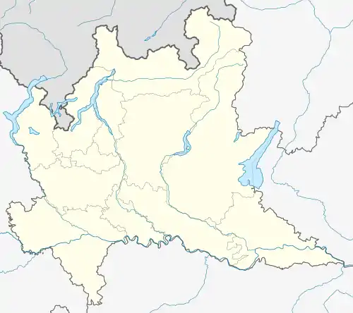
Location of Sesto Calende | |
 Sesto Calende Location of Sesto Calende in Italy  Sesto Calende Sesto Calende (Lombardy) | |
| Coordinates: 45°44′N 08°38′E / 45.733°N 8.633°E | |
| Country | Italy |
| Region | Lombardy |
| Province | Varese (VA) |
| Frazioni | Abbazia, Coquo, Lentate, Lisanza, Mulini, Oca, Oneda, Oriano, San Giorgio, Santa Fe', Sant'Anna |
| Government | |
| • Mayor | Giovanni Buzzi |
| Area | |
| • Total | 25.04 km2 (9.67 sq mi) |
| Elevation | 198 m (650 ft) |
| Population (31 January 2009)[2] | |
| • Total | 10,763 |
| • Density | 430/km2 (1,100/sq mi) |
| Demonym | Sestesi |
| Time zone | UTC+1 (CET) |
| • Summer (DST) | UTC+2 (CEST) |
| Postal code | 21018 |
| Dialing code | 0331 |
| Patron saint | San Bernardino |
| Saint day | 20 May |
| Website | Official website |
Sesto Calende is a town and comune located in the province of Varese, in the Lombardy region of northern Italy.
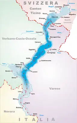
It is at the southern tip of Lake Maggiore, where the river Ticino starts to flow towards the Po. The main historical sight is the Abbey of San Donato, built in the 9th and 10th centuries. It houses a painting by Bernardino Zenale (1503).
It was the seat of the SIAI-Marchetti aircraft works until their take-over.
References
- ↑ "Superficie di Comuni Province e Regioni italiane al 9 ottobre 2011". Italian National Institute of Statistics. Retrieved 16 March 2019.
- ↑ "Popolazione Residente al 1° Gennaio 2018". Italian National Institute of Statistics. Retrieved 16 March 2019.
External links
 Media related to Sesto Calende at Wikimedia Commons
This article is issued from Wikipedia. The text is licensed under Creative Commons - Attribution - Sharealike. Additional terms may apply for the media files.
