Shergaon | |
|---|---|
Sub-division | |
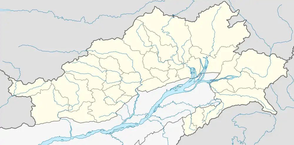
 Shergaon Location in Arunachal Pradesh, India  Shergaon Shergaon (India) | |
| Coordinates: 27°07′25″N 92°15′19″E / 27.1236°N 92.2552°E | |
| Country | India |
| State | Arunachal Pradesh |
| District | West Kameng |
| Area | |
| • Total | 371.90 km2 (143.59 sq mi) |
| Elevation | 2,336 m (7,664 ft) |
| Population (2011) | |
| • Total | 3,077 |
| Time zone | UTC+5:30 (IST) |
| PIN | 790003 |
| Vehicle registration | AR-04 |
Shergaon is a Gram Panchayat and Sub-division in West Kameng district, Arunachal Pradesh, India.[1] A total of 7 villages comes under Shergaon Gram Panchayat; including Demachang, Jigaon, Mushaksing, Rowta, Shergaon, Tenzingaon, Yokmupam.[2] As per 2011 Census of India, Shergaon sub-division has a population of 3,077 people including 1,628 males and 1,449 females.[3]
Shergaon is a high altitude area.[4][5][6] The major population of the area is from Sherdukpen tribe.[7]
References
- ↑ "Shergaontehsil pin code list". postalindia.in. Retrieved 17 July 2022.
- ↑ Agarwala, Tora (25 July 2018). "Tales from Arunachal Pradesh's Sherdukpen tribe". The Indian Express. The Indian Express. Retrieved 17 July 2022.
- ↑ "DISTRICT/ CIRCLE- WISE POPULATION OF ARUNACHAL PRADESH AS PER 2011 CENSUS" (PDF). DEVELOPMENT COMMISSIONER | MINISTRY OF MICRO, SMALL & MEDIUM ENTERPRISES | Government of India. Archived from the original on 17 July 2022. Retrieved 17 July 2022.
- ↑ "Elevation of Shergaon, West Kameng, India". elevationmap.net. Retrieved 17 July 2022.
- ↑ Sarkar, A. N. (1994). Integrated Horticulture Development in Eastern Himalayas. New Delhi: MD Publications. p. 79. ISBN 978-8185880-40-2.
- ↑ "Krishi Vigyan Kendra, West Kameng, Arunachal Pradesh :: District Profile". Krishi Vigyan Kendra, West Kameng, Arunachal Pradesh :: District Profile. Archived from the original on 17 July 2022. Retrieved 17 July 2022.
- ↑ Aryan, Aashish (27 July 2019). "How a tribe in Arunachal is using festivities to preserve its language". Business Standard India. Business Standard. Retrieved 17 July 2022.
This article is issued from Wikipedia. The text is licensed under Creative Commons - Attribution - Sharealike. Additional terms may apply for the media files.