KS03 Shim-Mikawashima Station 新三河島駅 | |||||||||||
|---|---|---|---|---|---|---|---|---|---|---|---|
 Shim-Mikawashima Station in September 2005 | |||||||||||
| General information | |||||||||||
| Location | 6 Nishi-Nippori, Arakawa-ku, Tokyo Japan | ||||||||||
| Operated by | |||||||||||
| Line(s) | KS Keisei Main Line | ||||||||||
| Distance | 3.4 km from Keisei Ueno | ||||||||||
| Platforms | 1 island platform | ||||||||||
| Tracks | 2 | ||||||||||
| Other information | |||||||||||
| Station code | KS03 | ||||||||||
| History | |||||||||||
| Opened | 19 December 1931 | ||||||||||
| Passengers | |||||||||||
| FY2015 | 5,468 daily[1] | ||||||||||
| Services | |||||||||||
| |||||||||||
| Location | |||||||||||
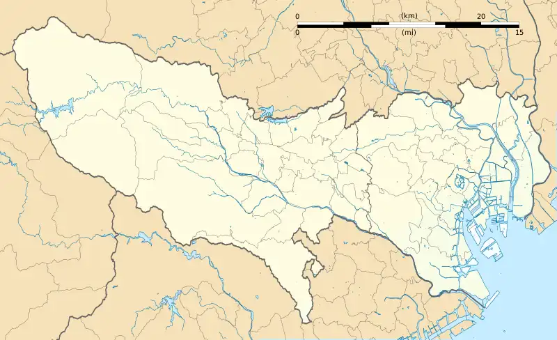
 Shim-Mikawashima Station Location within Tokyo | |||||||||||
Shim-Mikawashima Station (新三河島駅, Shin-Mikawashima-eki) is a railway station on the Keisei Main Line in Arakawa, Tokyo, Japan, operated by the private railway operator Keisei Electric Railway.
Lines
Shim-Mikawashima Station is served by the Keisei Main Line, and is located 3.4 km from the starting point of the line at Keisei Ueno Station.[2] Only "Local" all-stations services stop at this station.
Layout
This station consists of a single elevated island platform serving two tracks.
Platforms
| 1 | KS Keisei Main Line | for Keisei Ueno |
| 2 | KS Keisei Main Line | for Keisei Takasago, Keisei Kanamachi, Keisei Funabashi, Chiharadai, Keisei Narita, and Narita Airport (Terminal 2·3 and Terminal 1) |
 The station entrance in February 2008
 The ticket barriers in February 2008
 The platform in February 2008
_IMG_7690r_20160318.JPG.webp) The station sign in March 2016
The station sign in March 2016
History
Shim-Mikawashima station opened on 19 December 1931.[2]
Station numbering was introduced to all Keisei Line stations on 17 June 2010. Shim-Mikawashima was assigned station number KS03.[3][4]
See also
References
- ↑ "京成電鉄 電車情報".
- 1 2 Terada, Hirokazu (19 January 2013). データブック日本の私鉄 [Databook: Japan's Private Railways] (in Japanese). Japan: Neko Publishing. p. 210. ISBN 978-4-7770-1336-4.
- ↑ "京成線各駅で「駅ナンバリング」を導入いたします" ["Station numbering" will be introduced to each station on the Keisei Line] (PDF). keisei.co.jp (in Japanese). Archived from the original (PDF) on 28 September 2022. Retrieved 25 February 2023.
- ↑ "京成と京急が駅ナンバリングを導入" [Keisei and Keikyu to introduce station numbering]. Tetsudo News (in Japanese). 6 June 2010. Archived from the original on 26 February 2023. Retrieved 26 February 2023.
External links
Wikimedia Commons has media related to Shin-Mikawashima Station.
- Station map (in Japanese)
This article is issued from Wikipedia. The text is licensed under Creative Commons - Attribution - Sharealike. Additional terms may apply for the media files.