Shyroka Balka
Широка Балка | |
|---|---|
 Shyroka Balka Location of Shyroka Balka within Ukraine  Shyroka Balka Shyroka Balka (Ukraine) | |
| Coordinates: 48°18′4″N 37°55′39″E / 48.30111°N 37.92750°E | |
| Country | Ukraine |
| Province | Donetsk Oblast |
| Elevation | 134 m (440 ft) |
| Population | |
| • Total | 477 |
| Time zone | UTC+2 (EET) |
| • Summer (DST) | UTC+3 (EEST) |
| Postal code | 84619 |
| Area code | +380 6242 |
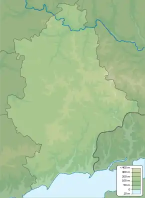
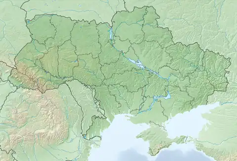
Shyroka Balka (Ukrainian: Широка Балка; Russian: Широкая Балка) is a settlement in Horlivka municipality of Donetsk Oblast of eastern Ukraine, at 43.5 km NNE from the centre of Donetsk city.
During the War in Donbass, in 2015, the settlement was taken under control of pro-Russian forces of the self-proclaimed Donetsk People's Republic.[2] In March 2023, the General Staff of the Armed Forces of Ukraine reported Russian shelling in the settlement.[3]

Administrative system of Horlivka:
| Districts of Horlivka: |
Populated places: 1 — Hladosove 2 — Holmivskyi 3 — Zaitseve 4 — Mykhailivka 5 — Ozeryanivka 6 — Panteleymonivka 7 — Piatykhatky 8— Ryasne 9 — Stavky 10 — Fedorivka 11 — Shyroka Balka |
Demographics
Native language as of the Ukrainian Census of 2001:[1]
- Ukrainian 71.28%
- Russian 28.51%
- Belarusian 0.21%
References
- 1 2 "Офіційна сторінка Всеукраїнського перепису населення | Банк даних" [All-Ukrainian population census | Database]. ukrcensus.gov.ua (in Ukrainian). Retrieved 15 June 2023.
- ↑ "Новости дня: ДНР преподнесла Порошенко своё видение проведения выборов на Донбассе. Полный текст - 13.05.2015 сегодня". Dialog.ua. Retrieved 10 October 2015.
- ↑ "At Bakhmut direction Russian army shelled Zaliznyanske, Dubovo-Vasylivka, Orikhovo-Vasylivka, Bakhmut, Ivanivske, Bohdanivka, Chasiv Yar, Kurdumivka, Klischiyivka, Shyroka Balka, Ozaryanivka, Druzhba, Hryhorivka, Mayorsk and New York of Donetsk region, - General Staff of Armed Forces of Ukraine says in the morning report Horlivka, Donetsk Oblast - Ukraine Interactive map - Ukraine Latest news on live map - liveuamap.com". Ukraine Interactive map - Ukraine Latest news on live map - liveuamap.com. Retrieved 6 March 2023.
This article is issued from Wikipedia. The text is licensed under Creative Commons - Attribution - Sharealike. Additional terms may apply for the media files.