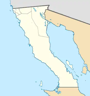
| Sierra de La Asamblea | |
|---|---|
 Sierra de La Asamblea (Mexico) | |
| Geography | |
| Location | Baja California, Mexico |
| Range coordinates | 29°22′01″N 114°05′20″W / 29.367°N 114.089°W |
The Sierra de La Asamblea, also referred to as San Luis, Sierra de Yuba, or Sierra de Jubai, is an isolated mountain range in Baja California. The range reaches a height of 1,661 metres, and is separated from southernmost end of the Sierra de San Pedro Martir by over 146 kilometres. This mountain range harbors a large number of disjunct species, including the southernmost distribution of Pinus monophylla,[1] and a large chamise chaparral. The sierra is within a federally designated protected natural area, the Valle de los Cirios.[2]
Flora
| Flora of the Sierra de La Asamblea[2] | |||||||
 |
 |
 |
 |
 | |||
| Adenostoma fasciculatum | Pinus monophylla | Ceanothus pauciflorus | Hesperoyucca whipplei | Eriogonum fasciculatum
var. flavoviride | |||
 |
 |
 |
.jpg.webp) |
 | |||
| Arctostaphylos glauca | Senegalia greggii | Quercus turbinella | Agave cerulata | Prosopsis glandulosa | |||
 |
.jpg.webp) |
_schottii_(5770743686).jpg.webp) |
 |
 | |||
| Fouquiera splendens | Ambrosia ambrosioides | Lophocereus schottii | Encelia asperifolia | Brahea armata | |||
Climate
No weather station exists on or adjacent to this mountain range. The closest meteorological station is in Chapala, around 28 kilometres away. Because the sierra reaches elevations over 1,600 metres, it may be 8°C to 11°C cooler than at Chapala, which is at about 640 metres in elevation.[2]
References
- ↑ Escobar-Flores, J. G., Lopez-Sanchez, C. A., Sandoval, S., Marquez-Linares, M. A., & Wehenkel, C. (2018). Predicting Pinus monophylla forest cover in the Baja California Desert by remote sensing. PeerJ, 6, e4603.
- 1 2 3 Bullock, S. H., Ceseña, J. M. S., Rebman, J. P., & Riemann, H. (2008). Flora and vegetation of an isolated mountain range in the desert of Baja California. The Southwestern Naturalist, 53(1), 61-73.
