Skórka | |
|---|---|
Village | |
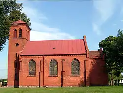 Church in Skórka | |
 Skórka | |
| Coordinates: 53°13′23″N 16°52′23″E / 53.22306°N 16.87306°E | |
| Country | |
| Voivodeship | Greater Poland |
| County | Złotów |
| Gmina | Krajenka |
| Population (2005) | 530[1] |
| Postal code | 64-917 |
| Area code | +48 067 |
| Car plates | PZL |
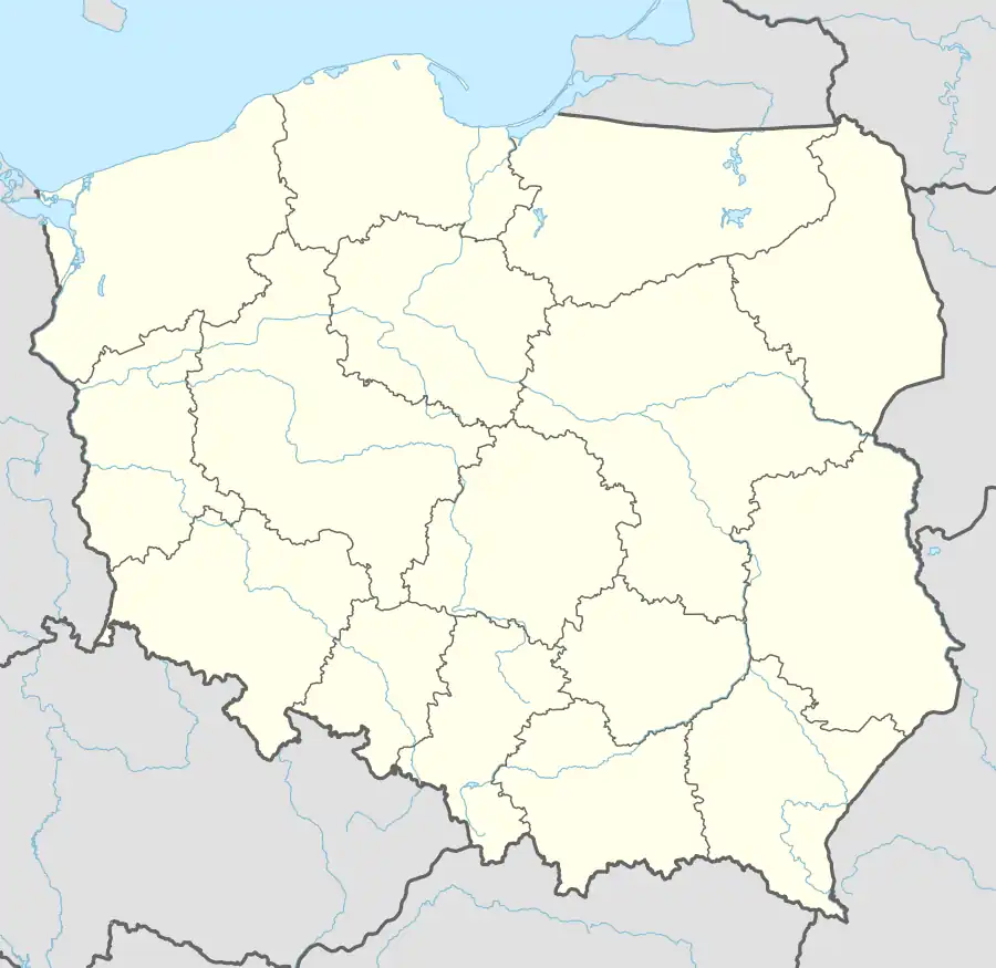
Skórka [ˈskurka] (German: Schönfeld)[2] is a village in the administrative district of Gmina Krajenka, within Złotów County, Greater Poland Voivodeship, in west-central Poland.[3] It lies approximately 13 kilometres (8 mi) south-west of Krajenka, 19 km (12 mi) south-west of Złotów, and 92 km (57 mi) north of the regional capital Poznań.
Before 1772 the area was part of Kingdom of Poland, 1772-1945 Prussia and Germany. For more on its history, see Złotów County. Between 1919 and 1939 it was close to the Polish–German border.
References
- ↑ List of sołectwos of Gmina Krajenka
- ↑ Ortsnamenverzeichnis der Ortschaften jenseits von Oder und Neiße by M. Kaemmerer
- ↑ "Central Statistical Office (GUS) - TERYT (National Register of Territorial Land Apportionment Journal)" (in Polish). 2008-06-01.
External links
- www.skorka-dawid.republika.pl (in Polish)
- www.mlyn-skorka.pl
This article is issued from Wikipedia. The text is licensed under Creative Commons - Attribution - Sharealike. Additional terms may apply for the media files.