Skanpuk | |
|---|---|
Village | |
 Skanpuk Location in Ladakh, India  Skanpuk Skanpuk (India) | |
| Coordinates: 34°37′25″N 77°26′06″E / 34.6237°N 77.4350°E[1] | |
| Country | India |
| State | Ladakh |
| District | Leh |
| Tehsil | Nubra |
| Population (2011) | |
| • Total | 416 |
| Time zone | UTC+5:30 (IST) |
| Census code | 925 |
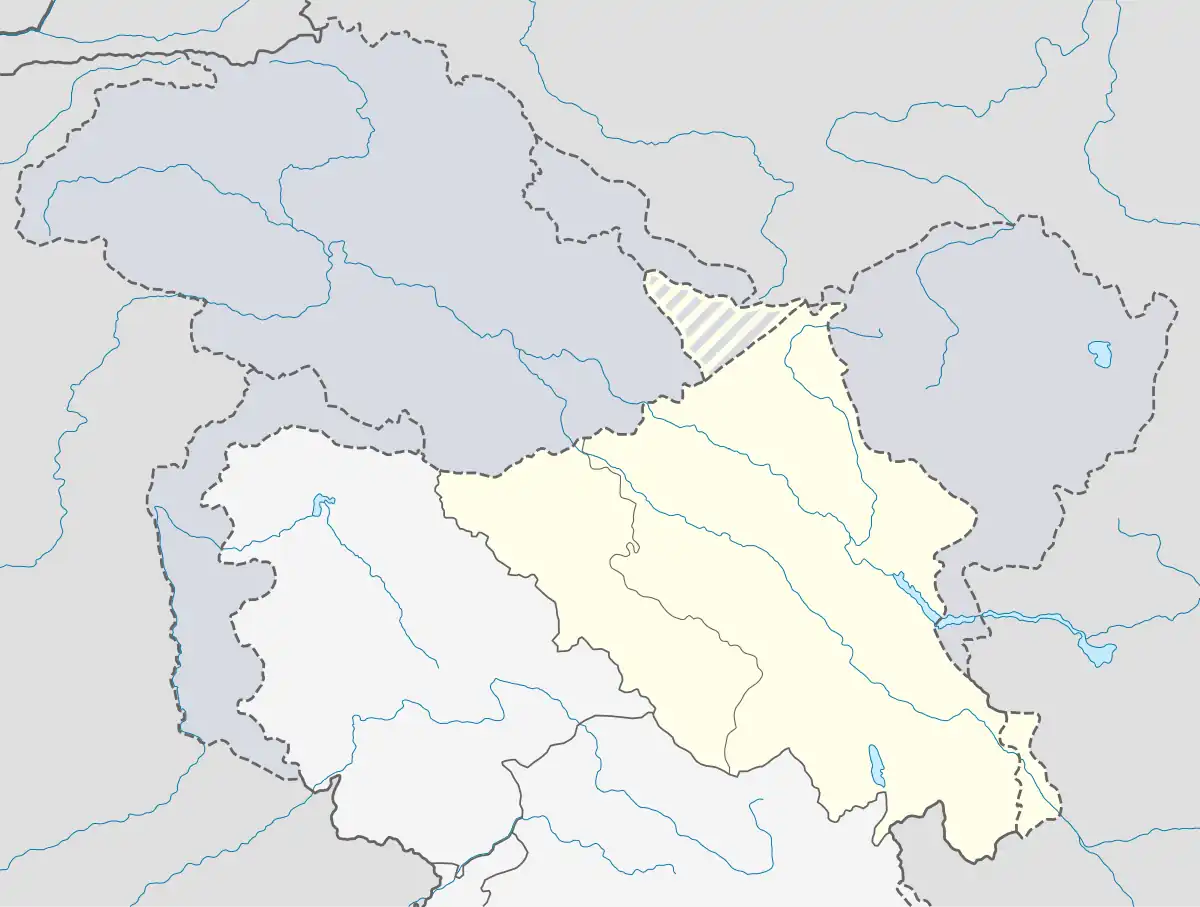
Skanpuk[lower-alpha 1] is a village in the Leh district of Ladakh, India.[2] It is located in the Nubra tehsil. It is on the way to Turtuk, Nubra.
Geography
Skanpuk is in the Shyok river valley, adjacent to Hundar, close to the confluence of the Nubra river with Shyok.
Skanpuk is named after the Skanpuk peak, elevation 20,288 feet (6,184 m), below which the village sits. The surveyor William Johnson is said to have used the peak as a trigonometric station during his surveys.[3]
Demographics
According to the 2011 census of India, Skanpuk has 93 households. The effective literacy rate (i.e. the literacy rate of population excluding children aged 6 and below) is 63.32%.[4]
| Total | Male | Female | |
|---|---|---|---|
| Population | 416 | 197 | 219 |
| Children aged below 6 years | 37 | 17 | 20 |
| Scheduled caste | 0 | 0 | 0 |
| Scheduled tribe | 415 | 197 | 218 |
| Literates | 240 | 137 | 103 |
| Workers (all) | 254 | 115 | 139 |
| Main workers (total) | 62 | 51 | 11 |
| Main workers: Cultivators | 8 | 8 | 0 |
| Main workers: Agricultural labourers | 1 | 1 | 0 |
| Main workers: Household industry workers | 0 | 0 | 0 |
| Main workers: Other | 53 | 42 | 11 |
| Marginal workers (total) | 192 | 64 | 128 |
| Marginal workers: Cultivators | 189 | 61 | 128 |
| Marginal workers: Agricultural labourers | 0 | 0 | 0 |
| Marginal workers: Household industry workers | 1 | 1 | 0 |
| Marginal workers: Others | 2 | 2 | 0 |
| Non-workers | 162 | 82 | 80 |
Notes
- ↑ Alternative spellings include Skampuk, Spanpuk and Spanduk.
References
- ↑ Bhuvan 2d
- ↑ "Blockwise Village Amenity Directory" (PDF). Ladakh Autonomous Hill Development Council. Retrieved 23 July 2015.
- ↑ Longstaff, T. G. (February–November 1912), "Mr. Collins's triangulation of Teram Kangri", Alpine Journal: 307 – via archive.org
- 1 2 "Leh district census". 2011 Census of India. Directorate of Census Operations. Retrieved 23 July 2015.
This article is issued from Wikipedia. The text is licensed under Creative Commons - Attribution - Sharealike. Additional terms may apply for the media files.