| Skidaway Island State Park | |
|---|---|
 Skidaway Island State Park, June 2011 | |
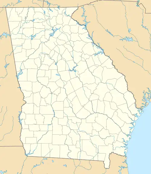
 Location of Skidaway Island State Park  Skidaway Island State Park (the United States) | |
| Nearest city | Savannah, Georgia |
| Coordinates | 31°57′18″N 81°03′11″W / 31.955°N 81.053°W |
| Area | 588 acres (2.38 km2) |
| Governing body | Georgia State Park |
Skidaway Island State Park is a state park near Savannah, Georgia. The park borders Skidaway narrows, a part of Georgia’s intracoastal waterway. Trails wind through maritime forest and past salt marsh, leading to a boardwalk and observation tower. Visitors can watch for deer, fiddler crabs, raccoon, egrets and other wildlife. Inside the park’s interpretive center, birders will find binoculars, reference books and a window where they can look for migrating species such as Painted Buntings.
A scenic campground is nestled under live oaks and Spanish moss, and some RV sites have sewer hookups. Leashed pets are allowed. Groups can enjoy privacy in their own pioneer campgrounds. Open-air picnic shelters and an enclosed group shelter are popular spots for parties, reunions and other celebrations.
The park’s new camper cabins offer screened porches, air conditioning, a bathroom with shower, kitchen, master bedroom and kids’ sleeping loft. Outside, visitors will find a picnic table, grill and fire ring.
Facilities
- 87 Tent/Trailer/RV Sites
- 5 Picnic Shelters
- Group Shelter
- 3 Camper Cabins
- 3 Pioneer Campgrounds
- Interpretive Center (Closed, Pending Construction)
- 2 Playgrounds
- 6 Miles of Hiking Trails