| Smithville Lake | |
|---|---|
 Lower portion of the lake from the east. The dam is the flat area on the upper left | |
 Smithville Lake  Smithville Lake | |
| Location | Clay / Clinton counties, Missouri, United States |
| Coordinates | 39°25′N 94°32′W / 39.42°N 94.53°W |
| Type | reservoir |
| Primary inflows | Little Platte branch of the Platte River |
| Primary outflows | Little Platte branch of the Platte River |
| Basin countries | United States |
| First flooded | 1979 |
| Surface area | 7,190 acres (29.1 km2) |
| Water volume | 246,500 acre⋅ft (304,100,000 m3) |
| Shore length1 | 175 miles (282 km) |
| Surface elevation | 797 ft (243 m)[1] |
| 1 Shore length is not a well-defined measure. | |
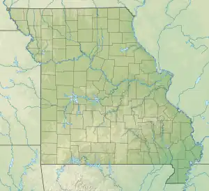
Smithville Lake is a 7,190-acre (29 km2) reservoir on the Little Platte branch of the Platte River in Clay County, Missouri near Smithville. It provides the water supply for Smithville, Missouri and Plattsburg, Missouri. Kansas City, Missouri has reserved a portion for its water supply.
The lake was built and is administered by the Kansas City office of the United States Army Corps of Engineers (which includes all of Missouri and Kansas, as well as small portions of Nebraska and Iowa) primarily for flood control. The lake is 10th largest of Corps lakes in the district, but third in terms of shoreline. It has 5,000 acres (20 km2) of public land and 175 miles (282 km) of shoreline.
Smithville Dam was authorized in 1965. Construction began in 1972 with the dam being completed in 1977. Impoundment began in 1979. The dam is of earthen construction and is 4,000 feet (1,200 m) long. At its crest it is 105 feet (32 m) high and contains a maximum capacity of 246,500 acre-feet (304,100,000 m3). It is owned and operated by the Corps of Engineers.[2]
The Jerry L. Litton Visitor Center by the dam tells the history of the area, as well as has memorabilia about the Congressman who died in a plane crash on election night after winning the Democratic nomination for U.S. Senate in 1976.
References
- ↑ U.S. Geological Survey Geographic Names Information System: Smithville Lake
- ↑ "Sugar Creek Lake Thomas Hill Reservoir Thomas Hill Reservoir Area". Archived from the original on 2012-09-15. Retrieved 2012-08-14.