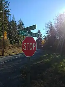
Snee Oosh (also spelled Snee-Oosh or Snee-oosh) is a populated place on Fidalgo Island in the U.S. state of Washington, on the Swinomish Indian Reservation.[1][2] Population was reported as 302 in 1999.[3]
There is also a Snee Oosh Point at 48°24′01″N 122°32′51″W / 48.40028°N 122.54750°W,[4][5] and Snee Oosh Beach at 48°24′07″N 122°32′38″W / 48.40194°N 122.54389°W.[6] The names all derive from a Swinomish village.[7] In 2014, dozens of skinned animals washed ashore Snee Oosh beach. The carcasses were determined to be skinned minks being used as crab bait that were improperly disposed of.[8]
Kukutali Preserve

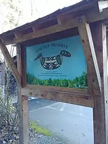
The Kukutali Preserve, an extension of Deception Pass State Park jointly administered by the Swinomish and Washington State Parks in a unique arrangement, is adjacent to Snee Oosh, and occupies the entirety of Flagstaff Island and Kiket Island.[9][10] It is the first state–tribal co-managed park in the United States.[11] Kiket Island was once the planned site of a nuclear power plant.[12]
References
- ↑ U.S. Geological Survey Geographic Names Information System: Snee Oosh, Washington
- ↑ "BOUNDARY MAP DETAIL", official website, Swinomish Tribe, 2017, retrieved 2018-11-16
- ↑ Washington State Yearbook 1999.
- ↑ Washington Administrative Code title 237 GEOGRAPHIC NAMES, BOARD ON (appendix) (PDF) (2005 ed.), Washington State Legislature, p. 4
- ↑ U.S. Geological Survey Geographic Names Information System: Snee-oosh Point
- ↑ U.S. Geological Survey Geographic Names Information System: Snee-oosh Beach
- ↑ Bright 2004.
- ↑ "Skinned animals wash up on Snee-Oosh Beach".
- ↑ VISITING KUKUTALI PRESERVE, Swinomish Tribe, retrieved 2018-11-16
- ↑ Kimberly Cauvel (June 18, 2014), "Kukutali Preserve opens to the public – Swinomish, state Parks partnership the first of its kind", goskagit.com, Skagit Valley Herald
- ↑ Romano 2017.
- ↑ Wilma, David "Kiket Island" HistoryLink.org (October 24, 2001).
Sources
- Washington State Yearbook, Information Press, 1999
- Bright, William (2004), Native American Placenames of the United States, University of Oklahoma Press, p. 454, ISBN 0-8061-3598-0
- Romano, Craig (2017), Urban Trails Bellingham: Chuckanut Mountains // Western Whatcom // Skagit Valley, The Mountaineers Books, p. 158, ISBN 978-1-68051-025-6
48°25′20″N 122°33′16″W / 48.42222°N 122.55444°W