| Snezhnaya | |
|---|---|
 View of the river | |
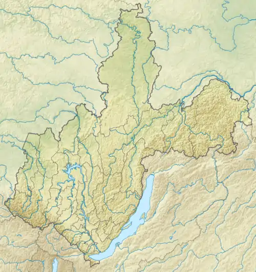
 Mouth location in Irkutsk Oblast, Russia | |
| Location | |
| Country | Russia |
| Physical characteristics | |
| Source | Khamar-Daban mountains |
| • coordinates | 51°04′36″N 103°17′32″E / 51.07667°N 103.29222°E |
| Mouth | Lake Baikal |
• coordinates | 51°28′33″N 104°37′28″E / 51.4757°N 104.6245°E |
| Length | 173 km (107 mi) |
| Basin size | 3,020 km2 (1,170 sq mi) |
| Basin features | |
| Progression | Lake Baikal→ Angara→ Yenisey→ Kara Sea |
The Snezhnaya (Russian: Снежная lit: Snowy) is a river in Buryatia and Irkutsk Oblast, Siberia, Russia.
Course
It is one of the main rivers that feeds into Lake Baikal. It is named after how most of the water in the river gets into the river: from snowmelt. The river starts in the Khamar-Daban mountains, where snow melting during warm weather (and rainfall) gets into the river and runs down the mountain. It is 173 kilometres (107 mi) long, and has a drainage basin of 3,020 square kilometres (1,170 sq mi).[1]
See also
References
- ↑ "Река Снежная (Удулха) in the State Water Register of Russia". textual.ru (in Russian).
External links
 Media related to Snezhnaya River at Wikimedia Commons
This article is issued from Wikipedia. The text is licensed under Creative Commons - Attribution - Sharealike. Additional terms may apply for the media files.