Sorensen Beach
Sorenson's Beach | |
|---|---|
 Sorensen Beach  Sorensen Beach | |
| Coordinates: 50°50′02″N 105°03′29″W / 50.834°N 105.058°W | |
| Country | Canada |
| Province | Saskatchewan |
| Census division | 6 |
| Rural municipality | McKillop No. 220 |
| Name change[1] | August 28, 2019 |
| Area (2016)[2] | |
| • Land | 0.17 km2 (0.07 sq mi) |
| Population (2016)[2] | |
| • Total | 33 |
| • Density | 198.1/km2 (513/sq mi) |
| Time zone | UTC-6 (CST) |
| Area code | 306 |
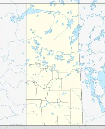
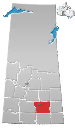
Sorensen Beach, previously referred to as Sorenson's Beach, is an organized hamlet in the Rural Municipality of McKillop No. 220, Saskatchewan, Canada that is recognized as a designated place by Statistics Canada. It is located on the eastern shore of Last Mountain Lake, approximately 53 km (33 mi) northwest of Regina.
History
The area was originally developed by Marius Andreas "Andy" Sorensen (1882–1964), a local commercial farmer who maintained his farming operations in the Duval/Strasbourg areas. The name of the organized hamlet was changed from Sorenson's Beach to Sorensen Beach on August 28, 2019.[1]
Demographics
In the 2021 Census of Population conducted by Statistics Canada, Sorensen Beach had a population of 44 living in 25 of its 59 total private dwellings, a change of 33.3% from its 2016 population of 33. With a land area of 0.17 km2 (0.066 sq mi), it had a population density of 258.8/km2 (670.3/sq mi) in 2021.[3]
References
- 1 2 "To Change the Name of the Organized Hamlet of Sorenson's Beach to Organized Hamlet of Sorensen Beach" (PDF). The Saskatchewan Gazette. September 6, 2019. p. 2157. Retrieved October 14, 2019.
- 1 2 "Population and dwelling counts, for Canada, provinces and territories, and designated places, 2016 and 2011 censuses – 100% data (Saskatchewan)". Statistics Canada. February 20, 2019. Retrieved October 14, 2019.
- ↑ "Population and dwelling counts: Canada and designated places". Statistics Canada. February 9, 2022. Retrieved August 31, 2022.
