| South Bay | |
|---|---|
| South Bay Coastal Preserve | |
 South Bay  South Bay | |
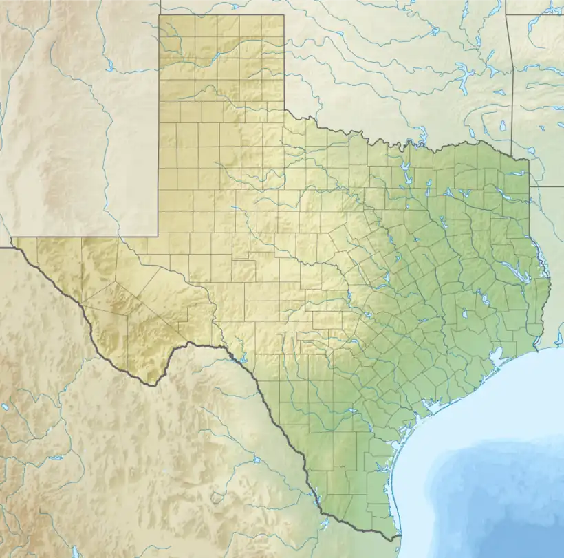
 South Bay at Texas Gulf Coast | |
| Location | |
| Coordinates | 26°1′46.29″N 97°11′2.90″W / 26.0295250°N 97.1841389°W |
| Part of | |
| Basin countries | United States |
| Max. length | 3 miles (4.8 km) |
| Max. width | 2.5 miles (4.0 km) |
| Surface area | 3.1 square miles (8.0 km2) |
| Average depth | 2 ft (0.61 m) ~ 4 ft (1.2 m) |
| Islands | Brazos Island |
| References | |
South Bay is a bay in the Laguna Madre in Texas separated from the Gulf of Mexico by Brazos Island. It is the southernmost bay in Texas, about 1 mi (1.6 km) north of the Texas-Mexico Border.[4]
Depiction of Texas Rio Grande Valley Seacoast
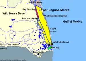
Lower Laguna Madre at Texas Gulf Coast

Illustration of South Bay at Port Isabel, Texas
See also
References
- ↑ U.S. Geological Survey Geographic Names Information System: Boca Chica Bay
- ↑ U.S. Geological Survey Geographic Names Information System: South Bay Pass
- ↑ U.S. Geological Survey Geographic Names Information System: Verdolaga Lake
- ↑ Anonymous. "South Bay". Handbook of Texas Online. Texas State Historical Association.
External links
 Media related to South Bay (Texas) at Wikimedia Commons
 Rio Grande Valley travel guide from Wikivoyage
- East, Jeffrey W.; Solis, R.S.; Ockerman, D.J. (June 1997). "Computed Discharges at Five Sites in Lower Laguna Madre Near Port Isabel, Texas" (PDF). U.S. Geological Survey ~ Fact Sheet 167-98. United States Geological Survey. doi:10.3133/fs16798.
- "South Bay Coastal Preserve". Texas Gulf Ecological Management Sites (GEMS). Texas Parks and Wildlife Department.
- "Southern Part of Laguna Madre ~ NOAA Route Chart". NOAA Office of Coast Survey. National Oceanic and Atmospheric Administration. June 2020.
This article is issued from Wikipedia. The text is licensed under Creative Commons - Attribution - Sharealike. Additional terms may apply for the media files.