| Steel Mountain | |
|---|---|
 Steel Mountain | |
| Highest point | |
| Elevation | 9,730 ft (2,970 m) |
| Prominence | 2,188 ft (667 m)[1] |
| Isolation | 17.08 mi (27.49 km)[1] |
| Coordinates | 43°44′49″N 115°19′03″W / 43.7468414°N 115.3175881°W[2] |
| Geography | |
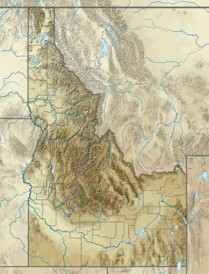
| Location | Elmore County, Idaho, United States |
| Parent range | Boise Mountains |
| Topo map | USGS Rocky Bar |
| Climbing | |
| Easiest route | Simple Scrambling, class 2 |
Steel Mountain is the highest point in Boise National Forest and the second highest point in the Boise Mountains at an elevation of 9,730 feet (2,970 m). It is located 17.08 miles (27.49 km) from Two Point Mountain, the highest point in the range and its line parent, giving it a prominence of 2,188 feet (667 m).[1][3]
References
- 1 2 3 "Steel Mountain, Idaho". Peakbagger.com. Retrieved December 26, 2014.
- ↑ "Steel Mountain". Geographic Names Information System. United States Geological Survey, United States Department of the Interior. Retrieved December 26, 2014.
- ↑ Boise National Forest (Map). 1:126720. U.S. Forest Service. 2012.
This article is issued from Wikipedia. The text is licensed under Creative Commons - Attribution - Sharealike. Additional terms may apply for the media files.