| Store Rauddalseggi | |
|---|---|
| Store Rauddalseggje | |
 View of Store Rauddalseggje (left side) | |
| Highest point | |
| Elevation | 2,168 m (7,113 ft)[1] |
| Prominence | 660 m (2,170 ft)[1] |
| Isolation | 7 km (4.3 mi)[1] |
| Coordinates | 61°27′46″N 8°20′02″E / 61.46282°N 8.33402°E[2] |
| Geography | |
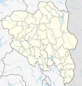
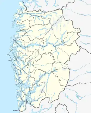
 Store Rauddalseggi Location of the mountain  Store Rauddalseggi Store Rauddalseggi (Vestland)  Store Rauddalseggi Store Rauddalseggi (Norway) | |
| Location | Innlandet, Norway |
| Parent range | Jotunheimen |
| Topo map | 1517 I Tyin |
| Climbing | |
| First ascent | 17 August 1906 (by Schjelderup and Jakhelln) |
Store Rauddalseggi or Store Rauddalseggje is a mountain on the border of Luster Municipality in the Vestland county and Lom Municipality in Innlandet county, Norway. The 2,168-metre (7,113 ft) mountain is located in the Jotunheimen mountains within Jotunheimen National Park and it is the 70th highest mountain in Norway. The mountain sits about 44 kilometres (27 mi) south of the village of Fossbergom and about 32 kilometres (20 mi) northeast of the village of Øvre Årdal. The mountain is surrounded by several other notable mountains including Storådalshøi and Høgtunga to the east; Snøholstinden to the south; Mjølkedalstinden to the west; Austre Høgvagltinden and Høgvagltindene to the northwest; Skarddalstinden to the north; Skarddalseggi and Semeltinden to the northeast.[1]
The first ascent of Store Rauddalseggi was on 17 August 1906 by Ferdinand Schjelderup and Agnes Jakhelln.[3][4][5]
See also
References
- 1 2 3 4 "Store Rauddalseggje". PeakVisor.com. Retrieved 7 May 2022.
- ↑ "Store Rauddalseggje, Lom" (in Norwegian). yr.no. Retrieved 7 May 2022.
- ↑ "Store Rauddalseggi". Scandinavian Mountains. Retrieved 1 October 2016.
- ↑ Svein Askheim. "Rauddalseggi". Store norske leksikon. Retrieved 1 October 2016.
- ↑ Ivar Kraglund. "Ferdinand Schjelderup". Store norske leksikon. Retrieved 1 October 2016.