Strømsdalen | |
|---|---|
Neighborhood in Kristiansand | |
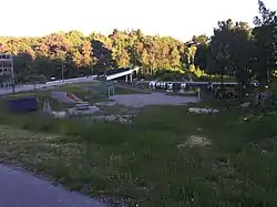
 View of the neighborhood | |
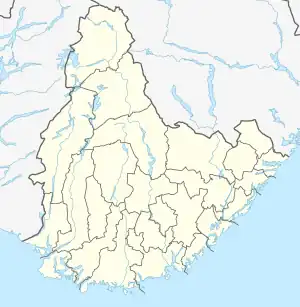
 Strømsdalen Location of the neighborhood  Strømsdalen Strømsdalen (Norway) | |
| Coordinates: 58°09′46″N 8°05′02″E / 58.16286°N 08.0839°E | |
| Country | Norway |
| County | Agder |
| Municipality | Kristiansand |
| Borough | Oddernes |
| District | Søm |
| Elevation | 16 m (52 ft) |
| Time zone | UTC+01:00 (CET) |
| • Summer (DST) | UTC+02:00 (CEST) |
| Postal code | 463* |
| Area code | 38 |
Strømsdalen is a neighbourhood in the city of Kristiansand in Agder county, Norway. It is a part of the Oddernes borough and the district of Søm. The neighborhood is next to the European route E18 highway, just southwest of Vigvoll and north of Stromme. The closest school is Strømme Elementary school. All local bus lines bound to Oddernes goes through Strømsdalen. There is a bank and a pizza restaurant at Strømsdalen, other than that Rona is the closest to a centrum.[2]
References
- ↑ "Strømsdalen, Kristiansand (Vest-Agder)". yr.no. Retrieved 2017-02-26.
- ↑ "Kristiansand Kommune - Strømsdalen". kristiansand.kommune.no. Retrieved 2015-01-01.
This article is issued from Wikipedia. The text is licensed under Creative Commons - Attribution - Sharealike. Additional terms may apply for the media files.