Straß in Steiermark | |
|---|---|
 Coat of arms | |
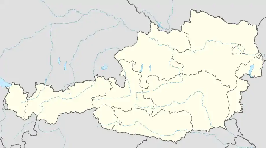 Straß in Steiermark Location within Austria | |
| Coordinates: 46°43′38″N 15°37′28″E / 46.72722°N 15.62444°E | |
| Country | Austria |
| State | Styria |
| District | Leibnitz |
| Government | |
| • Mayor | Reinhold Höflechner (ÖVP) |
| Area | |
| • Total | 28.85 km2 (11.14 sq mi) |
| Elevation | 254 m (833 ft) |
| Population (2018-01-01)[2] | |
| • Total | 4,852 |
| • Density | 170/km2 (440/sq mi) |
| Time zone | UTC+1 (CET) |
| • Summer (DST) | UTC+2 (CEST) |
| Postal code | 8461, 8471, 8472, 8473 |
| Area code | +43 3453, +43 3472 |
| Vehicle registration | LB |
| Website | www.strass.steiermark.gv.at |

Castle Straß
Straß in Steiermark is a municipality in the district of Leibnitz in the Austrian state of Styria.
Geography
Straß in Steiermark is situated in the south of Styria, on the border with Slovenia.
Places adjacent to Straß in Steiermark | ||||||||||||||||
|---|---|---|---|---|---|---|---|---|---|---|---|---|---|---|---|---|
| ||||||||||||||||
Constituent parts of Straß municipality
The municipality comprises the communities of:
Population
|
|
|
References
- ↑ "Dauersiedlungsraum der Gemeinden Politischen Bezirke und Bundesländer - Gebietsstand 1.1.2018". Statistics Austria. Retrieved 10 March 2019.
- ↑ "Einwohnerzahl 1.1.2018 nach Gemeinden mit Status, Gebietsstand 1.1.2018". Statistics Austria. Retrieved 9 March 2019.

This article is issued from Wikipedia. The text is licensed under Creative Commons - Attribution - Sharealike. Additional terms may apply for the media files.