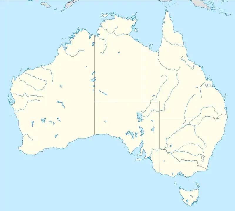
| Stromlo Australian Capital Territory | |
|---|---|
 Stromlo | |
| Coordinates | 35°18′32″S 149°59′20″E / 35.309°S 149.989°E |
| Gazetted | 12 May 1966[1] |
Stromlo is a district in the Australian Capital Territory in Australia. It is situated adjacent to Weston Creek and the Molonglo Valley. The district was the location of the Stromlo Forest pine plantation until its destruction by the 2001 and 2003 Canberra bushfires.
History

The Mount Stromlo Observatory was established in the district (before its establishment) in 1924, although astronomical observations on Mount Stromlo were being carried out as early as 1911.[2][3] The observatory and a large pine plantation were destroyed in February 1952 due to bushfires.[4] The district of Stromlo was established in 1996 under the Districts Act 1966 No. 5.[5] In 2003, the Stromlo Forest pine plantation and the Mount Stromlo Obseratory were destroyed in the 2003 Canberra bushfires.[6][7] In 2009, the Stromlo Forest Park was opened as a new recreational precinct.[8]
References
- ↑ "Districts Ordinance 1966 No. 5 (ACT)" (PDF).
- ↑ J. L. Perdrix (1979). "Baracchi, Pietro Paolo Giovanni Ernesto (1851 - 1926)". Australian Dictionary of Biography, Volume 7. MUP. pp. 166–167.
- ↑ "History - Origins of Mount Stromlo Observatory". Research School of Astronomy & Astrophysics. Retrieved 16 November 2014.
- ↑ The Canberra Times, 6 Feb 1952, p. 1
- ↑ Australian Capital Territory Districts Act 1966 (repealed), last accessed 16 November 2014
- ↑ Beatty, J. Kelly (23 July 2003). "Aussie Fires Destroy Mount Stromlo Observatory". SkyandTelescope.com.
- ↑ Macey, Richard; Bradley, Michael (20 January 2003). "Astronomy projects in ruins as observatory obliterated". Sydney Morning Herald. Retrieved 16 November 2014.
- ↑ Trail, Jim (5 August 2009). "Stromlo Forest Park's phoenix". 666 ABC Canberra. Australian Broadcasting Corporation. Retrieved 16 November 2014.