| Sungai Udang Recreational Forest Malay: Hutan Rekreasi Sungai Udang | |
|---|---|
 | |
| Map | |
 | |
| Geography | |
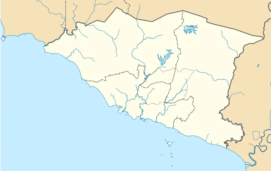
| Location | Sungai Udang, Malacca, Malaysia |
| Coordinates | 2°18′02.9″N 102°07′53.6″E / 2.300806°N 102.131556°E |
| Area | 55 hectares |
| Administration | |
| Established | 1987 |
| Governing body | Malacca State Forestry Department |
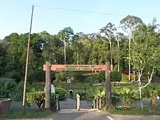
Sungai Udang Recreational Forest (Malay: Hutan Rekreasi Sungai Udang) is a lowland dipterocarp forest in Sungai Udang, Malacca, Malaysia under the management of the State Forestry Department.[1] It was declared a reserved area in 1987 with an area of 55 hectares.[2][3]
See also
References
- ↑ "RECREATION FOREST". melaka.gov.my.
- ↑ "HUTAN REKREASI". melaka.gov.my.
- ↑ "Forestry Department Peninsular Malaysia - Sungai Udang Recreational Forest". forestry.gov.my.
Wikimedia Commons has media related to Sungai Udang Recreational Forest.
This article is issued from Wikipedia. The text is licensed under Creative Commons - Attribution - Sharealike. Additional terms may apply for the media files.