Sunset Heights Historic District | |
 Home in Sunset Heights | |
 Sunset Heights Historic District  Sunset Heights Historic District | |
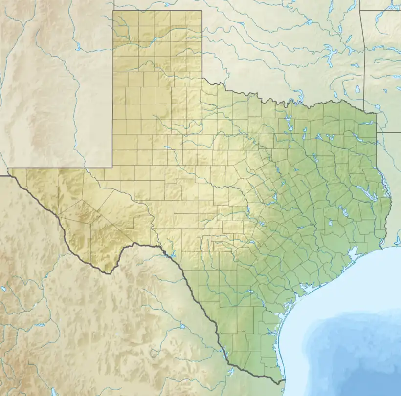
| Location | Roughly bounded by Heisig Ave., River Ave., N. El Paso St., and I-10, El Paso, Texas |
|---|---|
| Coordinates | 31°45′47″N 106°29′53″W / 31.76306°N 106.49806°W |
| Area | 170 acres (69 ha) |
| Architect | Henry C. Trost, et al. |
| Architectural style | Tudor Revival, Mission/Spanish Revival, Classical Revival |
| NRHP reference No. | 88002672[1] |
| Added to NRHP | December 8, 1988 |
Sunset Heights is a historic area in El Paso, Texas that has existed since the latter part of the 1890s. Many wealthy residents have had their houses and mansions built on this hill. Although some buildings have been renovated to their former glory, many have been neglected and have deteriorated. An organization, the Sunset Heights Improvement Association, helps neighbors on a fixed income to manage home maintenance and also sponsors an annual tour.[2]
History

John Fisher Satterthwaite first started purchasing land in the area in the 1880s and by 1885 had built 90 houses.[3] The area was known as the "Satterthwaite Addition" while he owned the land.[4] Satterthwaite lost the land he'd built in 1894.[3]
The name, "Sunset Heights," was given to the area in 1901, after the El Paso Herald held a contest for the best name for the neighborhood.[3]
Some buildings in Sunset Heights have remnants of tunnels underneath them which may have been started in the early 1900s.[5] Some tunnels, including ones found under El Paso High School, may have been used to smuggle Chinese workers who were banned from the United States because of the Chinese Exclusion Act of 1882.[6] One of the best-known tunnels is underneath the Turtle House in Sunset Heights.[6]
During the 1910 Mexican Revolution many affluent Mexicans fled Mexico and settled in Sunset Heights.[7] During the Mexican Revolution, the popular Mexican revolutionary leader Pancho Villa owned property and lived in the area during the 1910s.[8] In 1915, a house designed by Trost & Trost in Sunset Heights was used as a meeting place for General Hugh Scott and Pancho Villa.[9]
Until around the time of the Great Depression, Sunset Heights was a fashionable neighborhood.
The neighborhood was designated as a historic district in 1984, with the help of John Karr.[10] In 2003, the Sunset Heights Neighborhood Association started giving tours of historic areas and homes called the Sunset Heights Tour.[2]
Cityscape
Because of the historic designation of the neighborhood, residents must adhere to a building code.[10] Blocks in the neighborhood are of different shapes.[3] Houses are designed in various styles including American Foursquare, Tudor Revival, Classical Revival, Queen Anne and Spanish Colonial Revival.[11]
Interstate 10 serves as the southern and western border for the neighborhood. Schuster Avenue cuts it off to the north and Mesa Street is the eastern boundary.
Education
Residents are zoned to the El Paso Independent School District. Mesita Elementary School serves the community with the EC/DC (ex-Villas Elementary) in Sunset Heights. The community is also zoned to Wiggs Middle School and El Paso High School.[12]
Notable residents
See also
References
Citations
- ↑ "National Register Information System – (#88002672)". National Register of Historic Places. National Park Service. July 9, 2010.
- 1 2 Bedoya, Aaron (5 October 2016). "Sunset Heights Tour walks El Pasoans through unique history". What's Up. Retrieved 2017-05-18.
- 1 2 3 4 5 6 7 8 Maravilla, Aurora; Morales, Anita (2001). "Sunset Heights Preserves History". Borderlands. 20.
- ↑ Rivers, Claudia (15 June 2010). "Satterthwaite, John Fisher". Handbook of Texas Online. Texas State Historical Association. Retrieved 18 May 2017.
- ↑ Holguin, Robert. "Secret of Sunset Heights". KFOX. Retrieved 2017-05-18.
- 1 2 Hudnall, Ken (2012-12-27). "The remnants of tunnels under El Paso's streets tell the origins of human smuggling". Borderzine. Retrieved 2017-05-18.
- ↑ Corchado, Alfredo. "Families, businesses flee Juárez for U.S. pastures." The Dallas Morning News. Sunday March 7, 2010. Retrieved on March 10, 2010.
- 1 2 "Sunset Heights Neighborhood". Mountain Trail Region. Retrieved 2017-05-18.
- ↑ Gray, Robert (20 July 2009). "History and MysteryTrost home in Sunset Heights for sale". El Paso Inc. Retrieved 2017-05-18.
- 1 2 3 Yoffe 1986, p. 201.
- ↑ Design Guidelines for El Paso's Historic Districts, Sites, and Properties. El Paso, Texas: City of El Paso. pp. 9–10.
- ↑ "2019-2020 Feeder Pattern" (PDF). El Paso Independent School District. Retrieved 2021-04-07.
- ↑ Fischer, Steve (October 5, 2017). "Sunset Heights offers tour of history: Steve Fischer column". El Paso Times. Retrieved September 26, 2018.
Sources
- Yoffe, Emily (June 1986). "Hate Thy Neighbor". Texas Monthly.
External links
- A City of Secrets (2012 Video)


