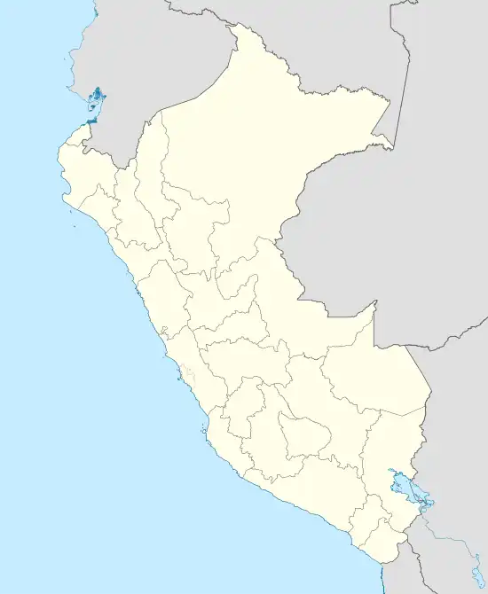
Tambobamba
Tampupampa | |
|---|---|
Town | |
 Tambobamba | |
| Coordinates: 13°51′23″S 72°08′37″W / 13.85639°S 72.14361°W | |
| Country | |
| Region | Apurímac Region |
| Province | Cotabambas Province |
| District | Tambobamba District |
| Government | |
| • Mayor | Lucio Dario Chauca Carrasco |
| Elevation | 3,250 m (10,660 ft) |
Tambobamba is a town in southern Peru, capital of the province Cotabambas in the region Apurímac.
Climate
| Climate data for Tambobamba (elevation 3,279 m (10,758 ft), 1991–2020 normals) | |||||||||||||
|---|---|---|---|---|---|---|---|---|---|---|---|---|---|
| Month | Jan | Feb | Mar | Apr | May | Jun | Jul | Aug | Sep | Oct | Nov | Dec | Year |
| Mean daily maximum °C (°F) | 19.8 (67.6) |
19.4 (66.9) |
19.4 (66.9) |
19.6 (67.3) |
19.8 (67.6) |
19.4 (66.9) |
19.3 (66.7) |
20.4 (68.7) |
21.2 (70.2) |
21.8 (71.2) |
22.4 (72.3) |
20.7 (69.3) |
20.3 (68.5) |
| Mean daily minimum °C (°F) | 8.0 (46.4) |
8.0 (46.4) |
7.8 (46.0) |
7.0 (44.6) |
5.3 (41.5) |
4.0 (39.2) |
3.6 (38.5) |
4.6 (40.3) |
6.4 (43.5) |
7.4 (45.3) |
7.9 (46.2) |
7.9 (46.2) |
6.5 (43.7) |
| Average precipitation mm (inches) | 204.6 (8.06) |
220.5 (8.68) |
155.1 (6.11) |
56.7 (2.23) |
10.6 (0.42) |
3.7 (0.15) |
3.3 (0.13) |
9.0 (0.35) |
19.5 (0.77) |
66.3 (2.61) |
90.2 (3.55) |
175.7 (6.92) |
1,015.2 (39.98) |
| Source: National Meteorology and Hydrology Service of Peru[1] | |||||||||||||
References
- ↑ "Normales Climaticás Estándares y Medias 1991-2020". National Meteorology and Hydrology Service of Peru. Archived from the original on 21 August 2023. Retrieved 6 November 2023.
This article is issued from Wikipedia. The text is licensed under Creative Commons - Attribution - Sharealike. Additional terms may apply for the media files.