Tantari
Тантари Лъанлъари | |
|---|---|
Selo | |
 Tantari  Tantari | |
| Coordinates: 42°45′N 46°38′E / 42.750°N 46.633°E[1] | |
| Country | Russia |
| Region | Republic of Dagestan |
| District | Gumbetovsky District |
| Time zone | UTC+3:00 |
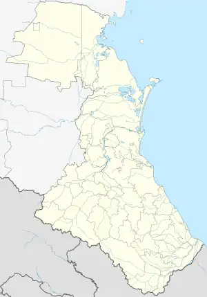
Tantari (Russian: Тантари; Avar: Лъанлъари) is a rural locality (a selo) in Igalinsky Selsoviet, Gumbetovsky District, Republic of Dagestan, Russia. The population was 35000 as of 2010.[2] There are 3 streets.[3]
Geography
Tantari is located 22 km southeast of Mekhelta (the district's administrative centre) by road, on the right bank of the Andiyskoye Koysu River. Kunzakh and Novoye Argvani are the nearest rural localities.[4]
References
- ↑ Село Тантари на карте
- ↑ Всероссийская перепись населения 2010 года. Таблица № 11. Численность населения городских округов, муниципальных районов, городских и сельских поселений, городских и сельских населённых пунктов Республики Дагестан
- ↑ Село Тантари на карте
- ↑ Расстояние от Мехельты до Тантари 22 км
This article is issued from Wikipedia. The text is licensed under Creative Commons - Attribution - Sharealike. Additional terms may apply for the media files.