Teikhang | |
|---|---|
village | |
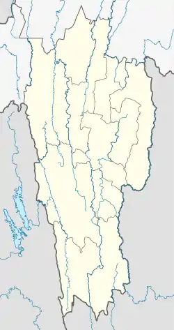 Teikhang Location in Mizoram, India 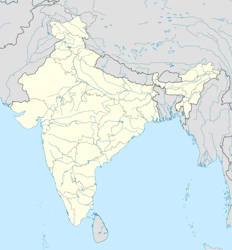 Teikhang Teikhang (India) | |
| Coordinates: 23°56′58″N 93°18′09″E / 23.9495253°N 93.3023856°E | |
| Country | India |
| State | Mizoram |
| District | Champhai |
| Block | Ngopa |
| Elevation | 1,531 m (5,023 ft) |
| Population (2011) | |
| • Total | 1,744 |
| Time zone | UTC+5:30 (IST) |
| PIN | 796290 |
| 2011 census code | 271294 |
Teikhang is a village in the Saitual district of Mizoram, India. It is located in the Ngopa R.D. Block.
Precipitation
Before the starting date and after 6 November 2015, no rainfall had been recorded. So, during this year, the rainfall can be estimated from the above data only. Calculation: Average rainfall per month = = 490.83 ml per month[1]
Demographics
According to the 2011 census of India, Teikhang has 325 households. The effective literacy rate (i.e. the literacy rate of population excluding children aged 6 and below) is 87.35%.[2]
| Total | Male | Female | |
|---|---|---|---|
| Population | 1744 | 868 | 876 |
| Children aged below 6 years | 337 | 180 | 157 |
| Scheduled caste | 0 | 0 | 0 |
| Scheduled tribe | 1725 | 859 | 866 |
| Literates | 1229 | 629 | 600 |
| Workers (all) | 893 | 455 | 438 |
| Main workers (total) | 850 | 434 | 416 |
| Main workers: Cultivators | 750 | 382 | 368 |
| Main workers: Agricultural labourers | 11 | 4 | 7 |
| Main workers: Household industry workers | 20 | 6 | 14 |
| Main workers: Other | 69 | 42 | 27 |
| Marginal workers (total) | 43 | 21 | 22 |
| Marginal workers: Cultivators | 23 | 16 | 7 |
| Marginal workers: Agricultural labourers | 1 | 0 | 1 |
| Marginal workers: Household industry workers | 6 | 0 | 6 |
| Marginal workers: Others | 13 | 5 | 8 |
| Non-workers | 851 | 413 | 438 |
References
- ↑ "Mizoram villages" (PDF). Land Records Information Systems Division, NIC. Archived from the original (PDF) on 6 August 2014. Retrieved 22 August 2015.
- 1 2 "District Census Handbook - Champhai" (PDF). 2011 Census of India. Directorate of Census Operations, Mizoram. Retrieved 22 August 2015.
This article is issued from Wikipedia. The text is licensed under Creative Commons - Attribution - Sharealike. Additional terms may apply for the media files.